What is recorded here
Situated on an irregular-shaped rise (300ft/91m OD) in undulating pasture, with good views of the surrounding landscape. In the NE quadrant of conjoined ringfort (WM031-072----), a rectangular-shaped structure or building is depicted on the 1837 ed. OS 6-inch map and on the 1913 ed. OS 25-inch map. Levelled ringfort described in 1973 as no surface remains visible. Levelled house site possible is not visible today on Digital Globe aerial photography.
Compiled by Alison McQueen, Vera Rahilly and Caimin O’Brien.
Date of upload: 22 November 201922
The monument record does not grant public access. Check the route and ask the landowner before entering private land.
- What survives
- Recorded monument
Places near here
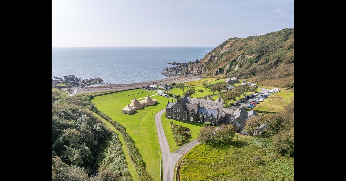 Hachured, RathbaneFairy fort / earthen ringfort · 1 yd
 OutlinedEnclosure · 393 yd
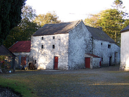 mill (water)mill (water) · 445 yd
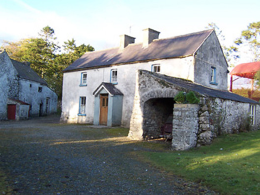 farm housefarm house · 450 yd
 CastleCastle, motte · 1121 yd
 Killalea FortCastle, motte · 1.1 mi
 Sam's ParkForest · 3.1 mi
 Japanese pagoda treeJapanese pagoda tree · 4.2 mi
 Kilmalady HillMountain / peak · 4.3 mi
 ToberaskeenSpring · 6.6 mi
 Moate HillMountain / peak · 7.7 mi
 Charles BianconiMemorial · 7.8 mi