What is recorded here
Situated on a level landscape. According to local reports stone foundations, probably of a house- site, were found in the interior of rath (WX047-023001-) through ploughing.
Compiled by: Michael Moore
Date of upload: 18 October, 2013
The monument record does not grant public access. Check the route and ask the landowner before entering private land.
- What survives
- Recorded monument
Places near here
 Embanked enclosureFairy fort / earthen ringfort · 1 yd
 IndicatedField system · 287 yd
 TumulusCastle, motte · 484 yd
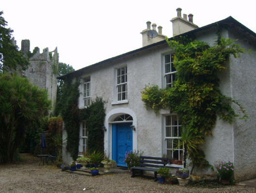 Castle Housefarm house · 745 yd
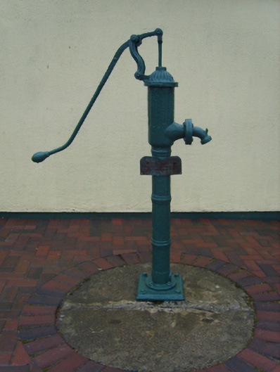 water pumpwater pump · 976 yd
 Castle (in ruins)Castle, tower house · 1263 yd
 1798 Memorial PlaqueMemorial · 3.5 mi
 The Heron's MeadowForest · 3.5 mi
 The Bull RockForest · 3.5 mi
 Cull IslandIsland · 3.5 mi
 Ballyhealy BeachBeach / strand · 3.8 mi
 Ivan Sutton Art ExhibitionGallery · 4.2 mi