
What is recorded here
Situated on a broad rise in a fairly level landscape. It is described as a castle in ruins on the 1839 ed. of the OS 6-inch map. Mulrankin was held by the Brown family from the 13th century at least (Brooks 1950, 34-5), but their main centre in the later middle ages was Mulrankin castle (WX047-031----). Rathronan, which is within the parish but c. 1.5km NW of Mulrankin, was probably established for a younger branch of the family. Nicholas Browne of Rathronan was listed as a gentleman in 1608, and in 1633 Nicholas Brown of Rathronan or Ballycrosse possessed 60 acres at Ballycrosse (Jeffrey 1979, 87). According to the Civil Survey (1654-6) Thomas Browne owned 60 acres and the castle at Rathronan (Simington 1953, 156). Rathronan passed to the Cliffe family in the later 17th century, but a branch of the Borwnes returned to Rathronan in 1851 (Browne and Whelan 1987, 479-80). The tower (ext. dims 7.1m NW-SE; c. 7m NE-SW; H c. 8m) is extensively rebuilt, but it survives to three storeys with few original features apart from a barrel-vault. A slit window on the NW side at the second floor is also original. The castle has false crenellations on the NW front, and it is incorporated in a thatched two storey house on its SW side.
The above description is derived from the published 'Archaeological Inventory of County Wexford' (Dublin: Stationery Office, 1996). In certain instances the entries have been revised and updated in the light of recent research.
Compiled by: Michael Moore
Date of upload/revision: 18 October, 2013
The castle at Rathronan was likely held by the Brown family from at least the 13th century, similar to their nearby holding at Mulrankin. It is remembered as a ruin documented in early 19th-century maps, reflecting medieval landholding patterns in the region.
The monument record does not grant public access. Check the route and ask the landowner before entering private land.
- What survives
- Recorded monument
Places near here
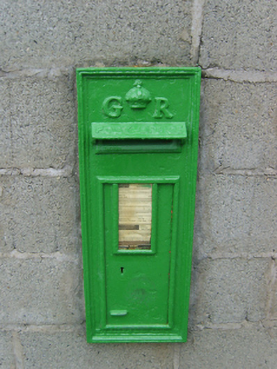 post boxpost box · 676 yd
 Embanked enclosureFairy fort / earthen ringfort · 688 yd
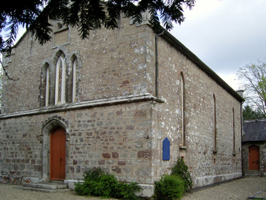 Saint David's Church (Mulrankin)church/chapel · 749 yd
 TumulusCastle, motte · 1093 yd
 Enclosure in BrideswellEnclosure · 1251 yd
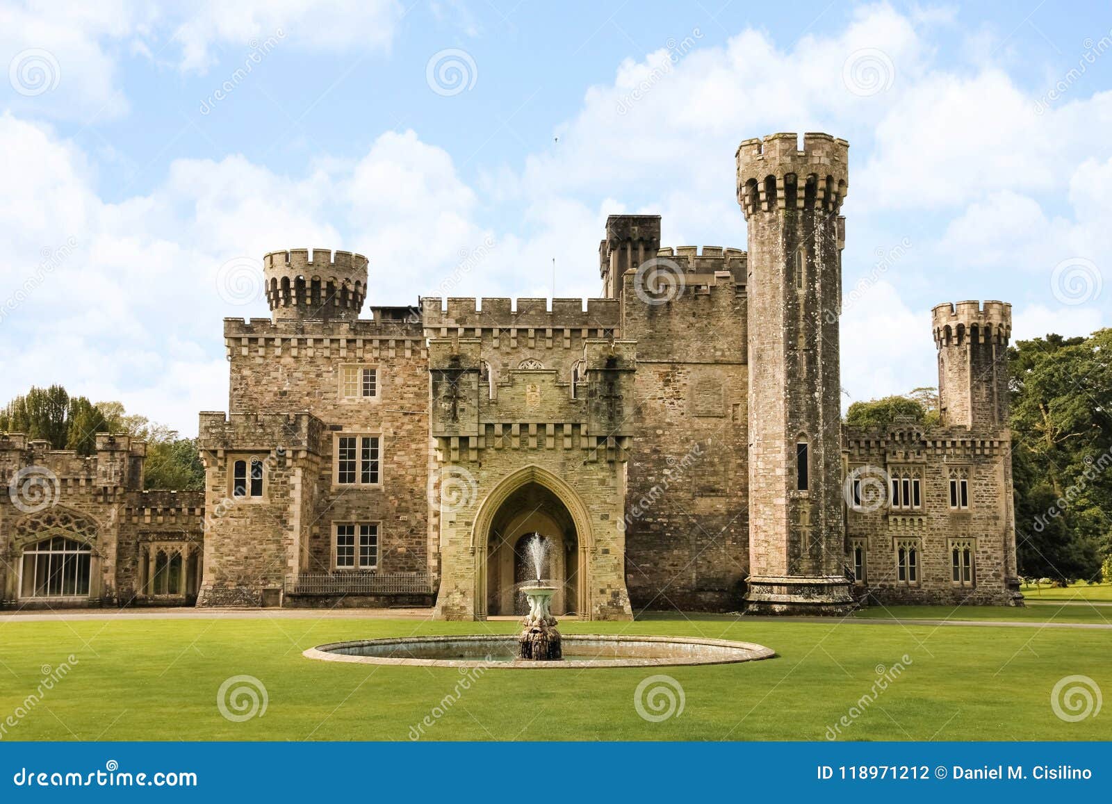 site of CastleCastle, unclassified · 1450 yd
 The Heron's MeadowForest · 3.2 mi
 The Bull RockForest · 3.2 mi
 1798 Memorial PlaqueMemorial · 3.3 mi
 Carrickatinna RockMountain / peak · 4.0 mi
 Ballyhealy BeachBeach / strand · 4.1 mi
 Skeater RockMountain / peak · 4.1 mi
Other information
Photo: Credit not shown in the picture search · Rights wording not checked; contact us if this picture should be removed