What is recorded here
Situated on an E-facing slope, in pasture, with moderate views in all directions. In centre of moated site (WM025-096----) are the remains of four rectangular-shaped conjoined areas defined by low rubble stone banks running NNW-SSE which probably represents the remains of a hour or house sites. There is a slight depression extending roughly W from the W side of one of the house sites which is of unknown significance.
Compiled by Alison McQueen, Vera Rahilly and Caimin O’Brien.
Date of upload: 23 September 2019
The monument record does not grant public access. Check the route and ask the landowner before entering private land.
- What survives
- Recorded monument
Places near here
 Ballyhandy Househouse · 561 yd
 Dotted outlineFairy fort / earthen ringfort · 592 yd
 bridgebridge · 710 yd
 Tober BaoithenHoly well · 876 yd
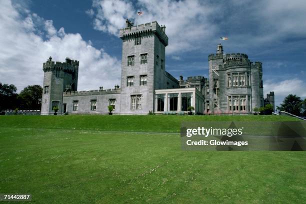 Glomerstown CastleCastle, unclassified · 1134 yd
 CastleCastle, tower house · 1284 yd
 Ancient Ring FortWood · 1.3 mi
 Hill of UisneachMountain / peak · 3.3 mi
 European ashEuropean ash · 4.0 mi
 Kilmalady HillMountain / peak · 8.3 mi
 Bonfire HillMountain / peak · 8.6 mi
 Abbeyshrule AbbeyRuins · 10 mi