What is recorded here
In N quadrant of ringfort (WM026-064----) are vague traces of a rectangular-shaped house site (dims. 5.8m NW-SE; 3.9m NE-SW) defined by a very low and fragmentary bank (Wth 1.1m; H 0.2m). The bank incorporates a large stone at the NW end. The entrance is not recognisable. The interior has several slight humps and hollows of unknown significance. No surface remains visible today of levelled house site on Digital Globe aerial photography.
Compiled by Alison McQueen, Vera Rahilly and Caimin O’Brien.
Date of upload: 02 October 2019
The monument record does not grant public access. Check the route and ask the landowner before entering private land.
- What survives
- Recorded monument
Places near here
 OutlinedFairy fort / earthen ringfort · 1 yd
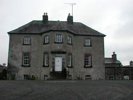 Anneville Housecountry house · 666 yd
 Carrick Lodgefarm house · 926 yd
 Castle in RuinsCastle, tower house · 1029 yd
 Enclosure in Carrick (fartullagh By.)Enclosure · 1078 yd
 Mollie Moo's Pet FarmHeritage attraction · 1.1 mi
 Bawn in Simonstown (fartullagh By.)Bawn · 1.1 mi
 Belvedere house and gardensVisitor information · 1.2 mi
 Blind IslandIslet · 1.8 mi
 Dysart IslandIsland · 2.8 mi
 Ardan WoodWood · 8.3 mi
 Bonfire HillMountain / peak · 9.0 mi