What is recorded here
In pasture, located roughly in the centre of a hillfort (DG103-072----) on the top of a N–S limestone ridge. This possible house or small enclosure consists of a flat, circular area (10m N–S; 9.5m E–W) defined by a stone bank (Wth 1.5m). The stone bank is evident as a low, sod-covered rise from which occasional stones protrude. It is most clearly defined at N–NE where a slight drop in exterior ground level makes the external face of the stone bank (ext. H 0.65m) more pronounced. It is located on a plateau which forms a spine of relatively level ground extending N–S through the hillfort. The possible house is conjoined on its W side to a circular enclosure (DG103-092----). There is a larger circular enclosure (DG103-072----) 20m to N, within which there is a cairn (DG103-029----) marking the highest point of the ridge.
Attached image:
DG103-093----_01.JPG viewed from N
Compiled by: Jane O'Shaughnessy
Date of upload: 18 November 2015
The monument record does not grant public access. Check the route and ask the landowner before entering private land.
- What survives
- Recorded monument
Places near here
 Hillfort in LurganHillfort · 38 yd
 Lurgan South Enclosure beside the HillfortEnclosure · 188 yd
 Castle (Site of)Castle, unclassified · 1.2 mi
 HawthornHawthorn · 1.2 mi
 St. John's Church of Ireland Churchchurch/chapel · 1.3 mi
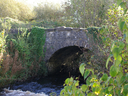 Connor's Bridgebridge · 1.7 mi
 RossnowlaghOfficial bathing water · 2.3 mi
 Kilbarron Old Church GraveyardGraveyard · 3.3 mi
 MurvaghOfficial bathing water · 3.6 mi
 St Anne's Church GraveyardGraveyard · 3.8 mi
 CastleCastle, unclassified · 3.8 mi
 Dark Cliffs at KilbarronPublicly named cliff or headland · 3.9 mi