
What is recorded here
This large ridge-top enclosure appears to be a hillfort, although it has been suggested (Patterson and Davies 1942) that it is a Neolithic enclosure. It encloses the summit of a N-S limestone ridge, with panoramic views encompassing the immediate undulating landscape, as well as distant landmarks of several counties: Donegal Bay, Slieve League and the Blue Stack mountains at NW–NE; the mountains of Leitrim and Sligo, the Mullaghmore Peninsula and Inish Murray at SE–SW; and Nephin Mountain in Mayo at WSW.
It consists of a roughly oval or D-shaped area (335m N–S; 190m E–W) defined on its W half at SSE–N by a substantial stone bank/wall which follow a contour of the ridge in a broad, smooth curve. On the E side, from NE-SE, it is naturally delimited by a steep limestone escarpment. The enclosing stone bank (Wth c. 10-12m; int. H 0.5-1.1m; ext. H 1.4-1.7m) consists of a substantial mound of medium and large limestone rubble, now broadly slumped and largely grass-covered. Within the enclosed area, a plateau (Wth c. 75m E-W) forms a relatively level central spine from which ground falls steeply outwards towards the enclosing wall. Within the confines of the hillfort there are several monuments: A cairn (DG103-029----), which is incorporated into the E half of a circular enclosure (DG103-072001-), crowns the highest point of the plateau in the N half of the hillfort. Another circular enclosure (DG103-092----) is located c. 13.5m to SE and is conjoined on its E side with a possible house (DG103-093----). Traces of levelled field boundaries, of uncertain date, are evident in the N half of the interior, and several shallow, subcircular or semi-circular hollows (max. dim 5-10m), of unknown date and function, are scarped into the NW and W-facing slope. A number of modern field walls subdivide the W and S half of the interior. There are also several monuments in the immediate vicinity: Abutting the exterior face of the enclosing wall at the S, is another circular enclosure (DG103-094----), and a possible hut site (DG103-095----) lies c. 35m S of that. A possible cairn (DG103-032----) is located at a lower point on the same ridge c. 120m S of the hillfort. There is a court tomb (DG103-030----) 150m downslope from the hillfort on the W side of the ridge, and an enclosure (DG103-091----) c. 100m to NW of the hillfort, on a terrace on the N slope of the ridge.
DG103-072----_01.jpg. Aerial view of possible hillfort (Bing).
Compiled by: Jane O’Shaughnessy
Date of revised upload: 13 November 2015
The monument record does not grant public access. Check the route and ask the landowner before entering private land.
- What survives
- Recorded monument
Places near here
 Lurgan South Enclosure beside the HillfortEnclosure · 204 yd
 Lurgan Limestone-Ridge EnclosureEnclosure · 293 yd
 Castle (Site of)Castle, unclassified · 1.2 mi
 St. John's Church of Ireland Churchchurch/chapel · 1.2 mi
 HawthornHawthorn · 1.2 mi
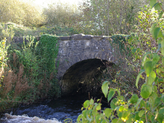 Connor's Bridgebridge · 1.7 mi
 RossnowlaghOfficial bathing water · 2.3 mi
 Kilbarron Old Church GraveyardGraveyard · 3.2 mi
 MurvaghOfficial bathing water · 3.6 mi
 St Anne's Church GraveyardGraveyard · 3.7 mi
 CastleCastle, unclassified · 3.8 mi
 Dark Cliffs at KilbarronPublicly named cliff or headland · 3.8 mi
Other information
Photo: Credit not shown in the picture search · Rights wording not checked; contact us if this picture should be removed