
What is recorded here
Within the interior of a rath (LF023-053001-), immediately to the E of the centre. A report in 1976 (SMR file) recorded the remains of a possible square house site (c. 5m N-S; c. 5m E-W). Not visible at ground level.
Compiled by: Patrick F. O'Donovan
Date of upload: 20 June 2012
The monument record does not grant public access. Check the route and ask the landowner before entering private land.
- What survives
- Recorded monument
Places near here
 IndicatedFairy fort / earthen ringfort · 483 yd
 Kilbally Holy WellHoly well · 716 yd
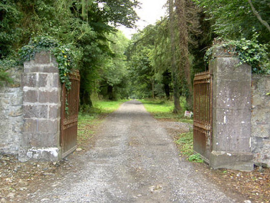 Doory Hallgates/railings/walls · 740 yd
 Wall monument (present location) in LisglassockWall monument (present location) · 986 yd
 Barry CastleCastle, unclassified · 1297 yd
 Mornin Castle (in Ruins)Castle, tower house · 1.1 mi
 Corlea Bog Walk Canal BranchWalking route · 3.3 mi
 National Famine WayWalking route · 3.4 mi
 Corlea Trackway Interpretative CentreHeritage attraction · 3.6 mi
 European BeechEuropean Beech · 4.4 mi
 Graveyard in Curry (ardagh By., Coolamber Ed)Graveyard · 6.2 mi
 Leveret IslandIslet · 7.2 mi
Other information
Photo: Credit not shown in the picture search · Rights wording not checked; contact us if this picture should be removed