What is recorded here
Located at the N end of a slight N-S ridge in an undulating landscape and inside the NW angle of moated site (ME015-078----). This house (dims c. 14m E-W; 5.5m N-S) is defined by low earthen banks at E and S and by the bank of the moated site at W and N. It has no visible entrance.
Compiled by: Michael Moore
Date of upload: 9 January, 2019
The monument record does not grant public access. Check the route and ask the landowner before entering private land.
- What survives
- Recorded monument
Places near here
 Slieve GullionMountain / peak · 956 yd
 Enclosure in KnockloughEnclosure · 967 yd
 Enclosure in Rathbrack (fore By., Moylagh Par.)Enclosure · 1086 yd
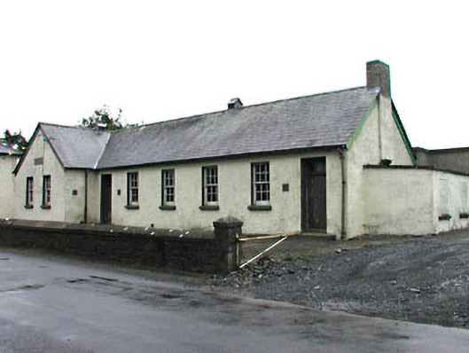 Gortloney National Schoolschool · 1.1 mi
 Kells HillMountain / peak · 1.1 mi
 Green CastleCastle, unclassified · 1.1 mi
 Keeper's CottageRuins · 1.2 mi
 The Keeper's FieldForest · 1.3 mi
 CastleCastle, tower house · 1.8 mi
 Bradley's WoodWood · 1.9 mi
 Zip WireHeritage attraction · 2.4 mi
 LoughcrewMegalithic tomb cemetery · 3.0 mi