What is recorded here
From the National Monuments Service (Archaeological Survey of Ireland) record GA104-151004
Places near here
Photo credits
- Maker not stated on source page, www.pinterest.com
- Maker not stated on source page, www.dreamstime.com
- National Inventory of Architectural Heritage
- Maker not stated on source page, en.wikipedia.org
- Kmcnamee, Wikimedia Commons · CC BY-SA 4.0
- Mike Searle, Geograph · CC BY-SA 2.0
- Maker not stated on source page, www.flickr.com
- Maker not stated on source page, www.visitgalway.ie
 Graveyard in KilloraGraveyard · 366 yd
Explorer Tom Graveyard in Killora has had so many names that even its headstones are confused about who they’re sitting on. It’s got…
 Mapped graveyardGraveyard · 369 yd
Explorer Tom This mapped graveyard in County Galway has a feud with its neighbour over who gets the best sunset view. They’ve been…
 Killora Church (in ruins)Church · 377 yd
Explorer Tom Killora Church is so buried in ivy the seagulls think it's a new cliff face. They're arguing about who gets to land…
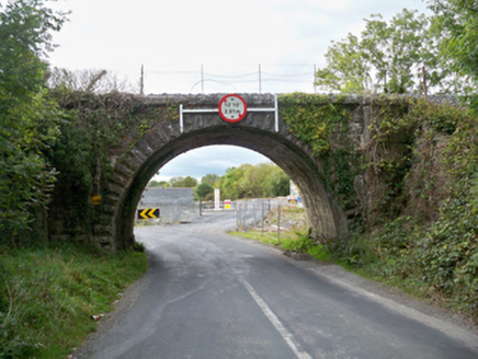 Aggard BridgeBridge · 526 yd
Explorer Tom Aggard Bridge has a parabolic arch that looks like it’s mid-jump over the water, frozen in time. The fairies are…
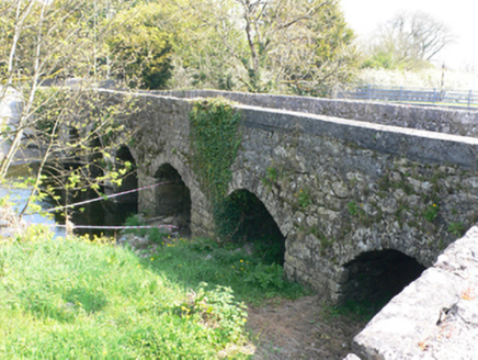 bridge552 yd
Explorer Tom Bridge in Ballymore (ed Craughwell) is playing hide-and-seek with its own wicker centring. The ghost living there is…
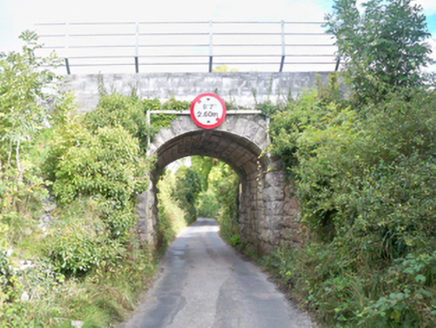 Grenage BridgeBridge · 630 yd
Explorer Tom Grenage Bridge in Craughwell is showing off its limestone muscles to the Aggard bridge, claiming it has better taste in…
 Earthwork in Roo (dunkellin By.)Earthwork · 804 yd
Explorer Tom Earthwork in Roo is having a dramatic argument with the nearest tree about who looks taller. The earth is winning, but…
 Craughwell GAAGAA ground · 840 yd
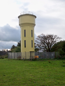 water tower971 yd
Explorer Tom Water tower in Craughwell was where Father O’Malley lost a bet about how many ducks could fit on top of it in 1965, and…
 Strongfort Castle (in ruins)Castle, tower house · 1.1 mi
Explorer Tom Strongfort Castle was refurbished in the 1980s with concrete floors, so it’s now basically a modern flat with medieval…
 Fairy fort / earthen ringfort in Kilquain (dunkellin By.)Fairy fort / earthen ringfort · 1.2 mi
Explorer Tom Fairy fort / earthen ringfort in Kilquain ended up in the wrong place because someone dug too much and lost it…
 Mannin Castle (in Ruins)Castle, tower house · 1.7 mi
Explorer Tom Mannin Castle is having a massive drama with the nearest tree over who gets the best light. It’s a tower house that…
More historic places in County Galway · All of County Galway

What do you know about this place?Tap to add a comment or ask a question