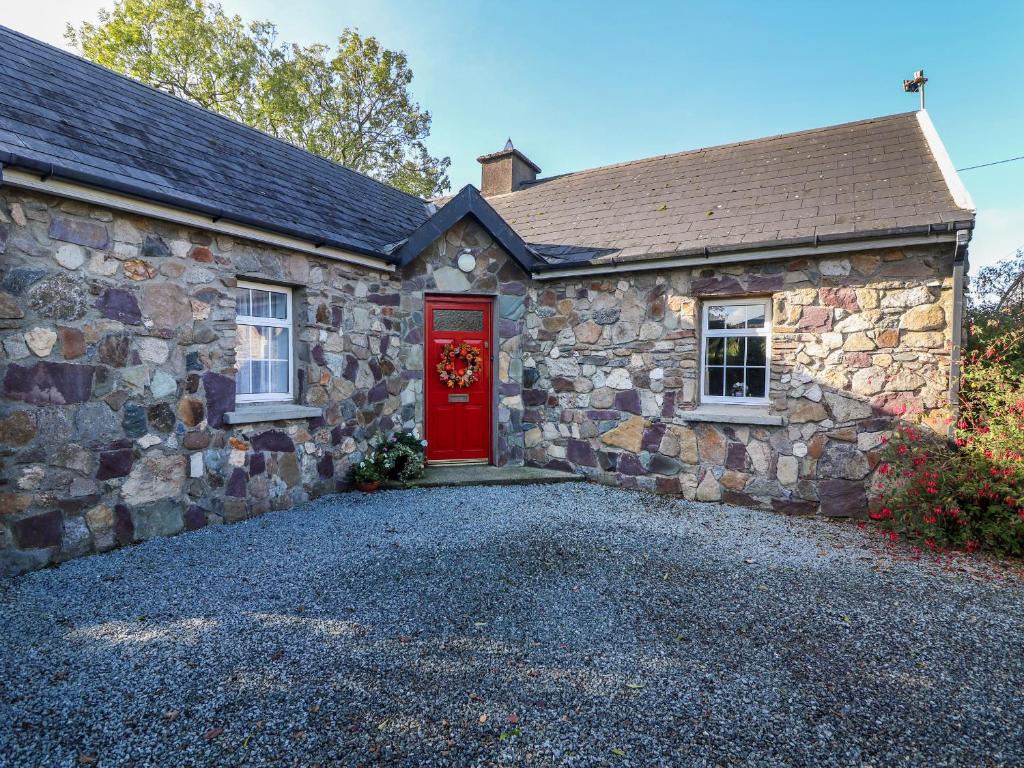
What is recorded here
Situated on the floodplain of the N-S River Slaney, which is c. 350m to the E. The cropmark of what may be a small rectangular house (dims. c. 10m x c. 4m), together with straight field boundaries is visible on aerial photographs (ASIAP (269) 25-28).
Compiled by: Michael Moore
Date of upload: 12 July, 2012
The monument record does not grant public access. Check the route and ask the landowner before entering private land.
- What survives
- Recorded monument
Places near here
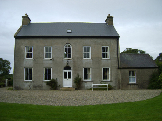 farm housefarm house · 304 yd
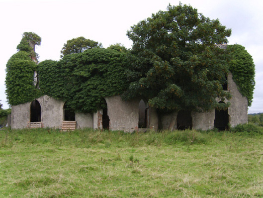 Kilgibbon Housefarm house · 736 yd
 IndicatedFairy fort / earthen ringfort · 1228 yd
 Holy WellHoly well · 1239 yd
 King's IslandIsland · 1678 yd
 Black Castle (in ruins)Castle, tower house · 1.4 mi
 Scurlocksbush HillMountain / peak · 1.5 mi
 Dick Joynt MemorialMemorial · 1.9 mi
 CastleCastle, ringwork · 2.1 mi
 National 1798 CentreMuseum · 3.7 mi
 Battle of Vinegar HillMajor battlefield · 4.0 mi
 Duffry GateMemorial · 4.1 mi
Other information
Photo: Credit not shown in the picture search · Rights wording not checked; contact us if this picture should be removed