What is recorded here
Situated within a rath (SL011-007001-). An almost square, raised stone platform (13.4m NNW-SSE; 13m ENE-WSW; max H 0.3m) occupies most of the S half of the interior of the rath. Its NNW and SSE sides are defined by the remains of low banks of earth and stone. Elsewhere the defining element is degraded scarp (H 0.2m - 0.6m). The significance of this feature is unknown but it may mark the remains of a house.
Compiled by: Patrick F. O'Donovan
Date of upload: 19 January 2011
The monument record does not grant public access. Check the route and ask the landowner before entering private land.
- What survives
- Recorded monument
Places near here
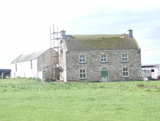 Finned Househouse · 570 yd
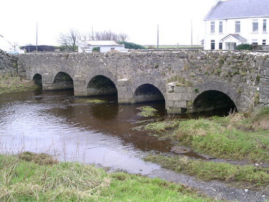 Finned Bridgebridge · 855 yd
 IndicatedEnclosure · 927 yd
 CastleCastle, ringwork · 1173 yd
 ToberabiddeenHoly well · 1.6 mi
 Bunowna PointHeadland · 1.9 mi
 Bawn in CastletownBawn · 1.9 mi
 Wild Atlantic Way: Easky PierVisitor information · 2.1 mi
 Rathlee HeadHeadland · 2.2 mi
 Jim Smith MemorialMemorial · 2.7 mi
 Wild Atlantic Way: Inishcrone PierVisitor information · 6.0 mi
 Grave of the Black PigArchaeological place · 7.1 mi