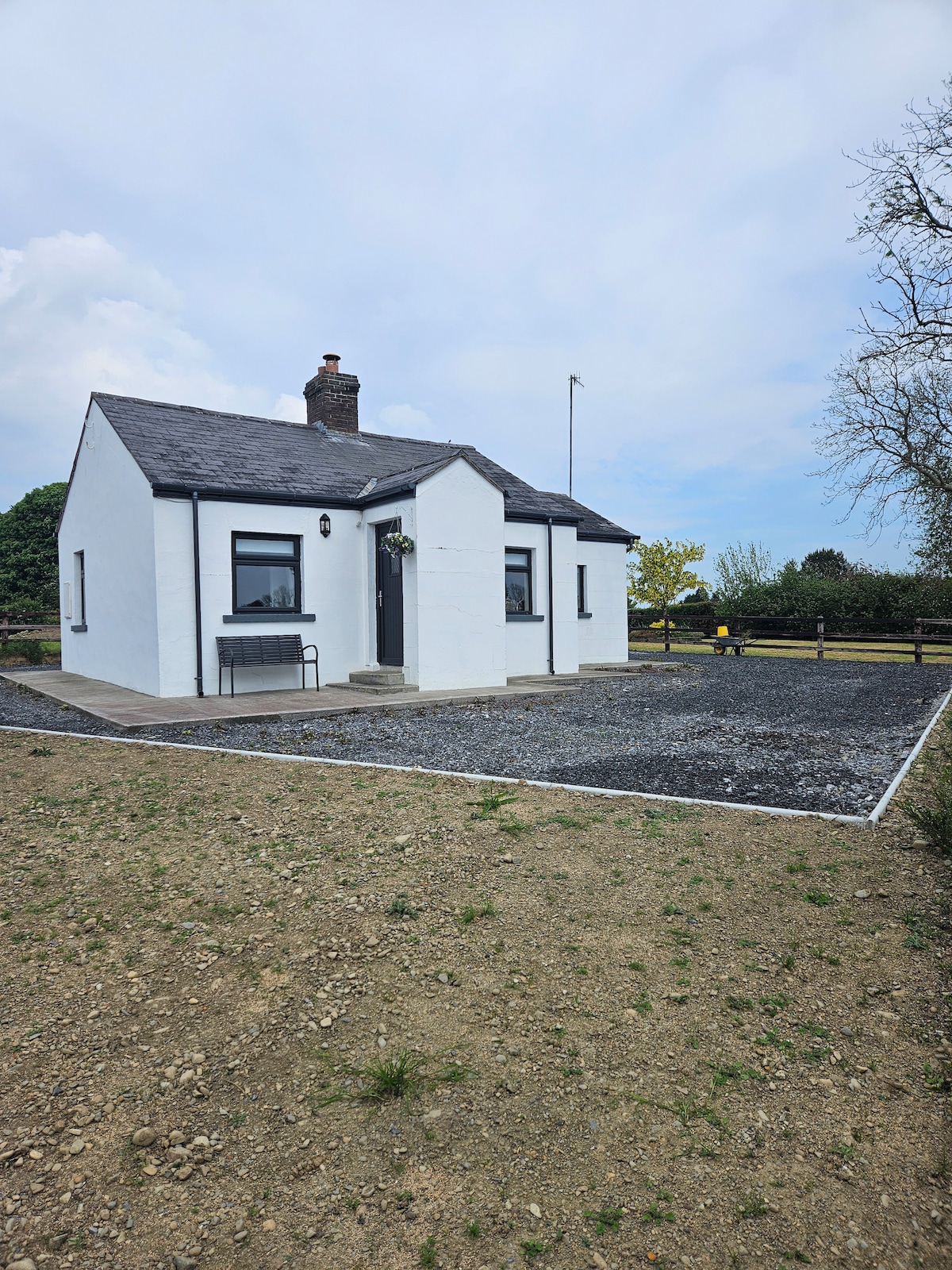
What is recorded here
Situated on a W-facing slope with good views from S-W-N and restricted to E. In the S half of rectangular enclosure (WM023-014----) are the remains of an L-shaped bank with a shallow fosse along its N side. There is a shallow fosse on the interior side of the enclosure bank, to W. This may represent the site of a building or house site associated with the enclosure. No surface remains visible today on Digital Globe aerial photographs
See attached plan of monument surveyed and drawn by ASI.
Compiled by Alison McQueen, Vera Rahilly and Caimin O’Brien.
Date of upload: 23 July 2019
The monument record does not grant public access. Check the route and ask the landowner before entering private land.
- What survives
- Recorded monument
Places near here
 CastleCastle, unclassified · 442 yd
 Enclosure in DunnamonaEnclosure · 641 yd
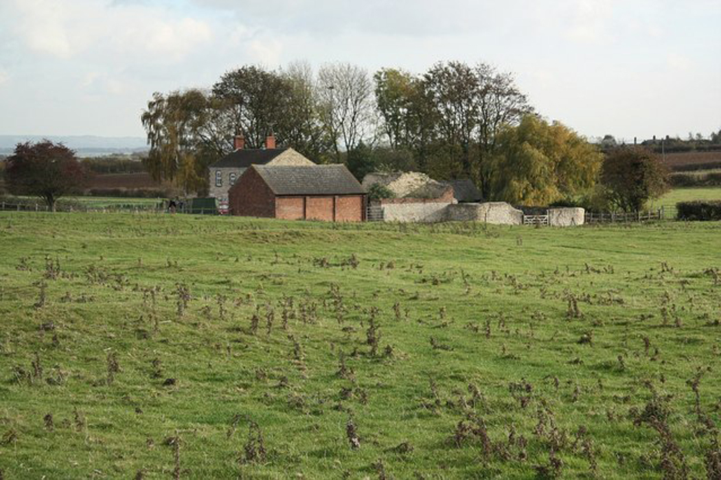 Settlement desertedSettlement deserted, medieval · 959 yd
 Ardnagragh CastleCastle, tower house · 1.3 mi
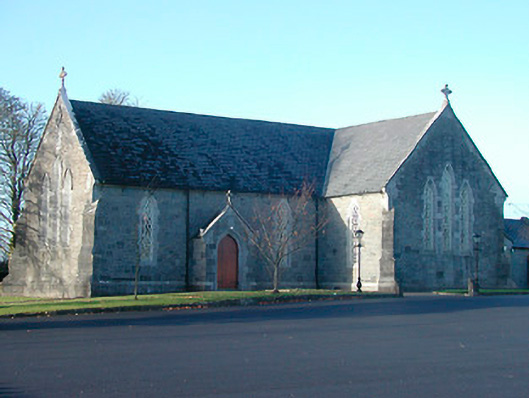 Catholic Church of the Immaculate Conceptionchurch/chapel · 1.6 mi
 Church in CartroncoraghChurch · 1.7 mi
 Noughaval CemeteryArchaeological place · 1.7 mi
 European BeechEuropean Beech · 3.2 mi
 Guest ServicesVisitor information · 4.9 mi
 Craft WorkshopHeritage attraction · 5.0 mi
 Target WoodWood · 5.0 mi
 Newcastle WoodsForest · 5.2 mi
Other information
Photo: Credit not shown in the picture search · Rights wording not checked; contact us if this picture should be removed