DDiscover AloneMapAbout

Church in Cartroncoragh

Church

The monument record does not grant public access. Check the route and ask the landowner before entering private land.

What do you know about this place?Tap to add a comment or ask a question

What you write will be public.

What is recorded here

Church site dedicated to St Éanán whose feastday is celebrated on the 19th of August and 18th of September (Ó Riain 2011, 657-8). Holy well (WM023-039----) dedicated to St Éanán located 140m to NE. Drumraney castle (WM023-036---) located 300m to N. In the 6th century St Aed visited Éanán hermit of the monastery of…

Read the whole record
Church site dedicated to St Éanán whose feastday is celebrated on the 19th of August and 18th of September (Ó Riain 2011, 657-8). Holy well (WM023-039----) dedicated to St Éanán located 140m to NE. Drumraney castle (WM023-036---) located 300m to N. In the 6th century St Aed visited Éanán hermit of the monastery of Druim-rath [Drumraney] in the west of Meath (Gwynn and Hadcock 1970, 382). In 946 the Annals recorded that 'an army was led by the foreigners over Druim-raithe; and they burned the oratory and seven score and ten persons within it' (AFM, 661). The church and castle of Drumrany or Drumrath was built by Sir Henry Dillon [De Lion], Lord of Drumrany, shortly after 1185 when he was granted land in this region which later became known as Dillon’s Country (Brydges 1817, 25-6). The church of Drumrath [Drumraney] in the deanery of Loxouedi [Loughsewdy], in the diocese of Meath was valued at 6 marks per year in the 1302-06 ecclesiastical taxation of Ireland (Cal. doc. Ire., 266). Medieval church of Drumraney depicted on the 1659 Down Survey map of Drumraney parish which it is shown standing inside its glebe land measuring 32 plantation acres in size (NLI, MS 723-4). The terrier of the 1659 Down Survey map of Drumraney parish recorded that ‘on ye Gleabe Land Standes a Church’ (ibid.). In 1693 it was recorded that in ‘Drumraney alias Drumrath’ the medieval church was dedicated to St. Eugenius [Enanus/Éanán] and the condition of the building was described as a ‘Church and chancel ruined’ (Ellison 1975, 11). According to Cogan the medieval church was replaced by a Church of Ireland place of worship. Cogan (1867, 505) wrote that the medieval church had ‘been torn down and uprooted, and a Protestant house of worship built with the materials alongside’. No surface remains visible of the church depicted on all editions of the OS 6-inch maps which is shown standing in the N quadrant of Drumraney graveyard (WM023-040001-). This church was a 19th century C of I church which replaced the medieval church site of Drumraney. The precise location of this medieval church site has not been identified within the graveyard. In 2013 a clean up scheme was undertaken inside the graveyard which resulted in the levelling of the surface of the graveyard and the reseeding of grass which has resulted in the removal of surface features. In the early 1940s Westmeath County Council pulled down the C of I church ruins and used the stone for improvement works on the main road. The older graveyard occupies the S half of the present graveyard and appears to have been defined by a small enclosure (WM023-040004-) now survived by a scarp running E-W across the middle of the present graveyard. Inside this section of graveyard there are several architectural fragments belonging to the medieval church of Drumraney. Punch dressed stone from the medieval church has been rebuilt into wall of 19th century memorial surround located in W quadrant of graveyard. The head of a cut stone round-arched single light window lies on the surface of the graveyard in the W quadrant. The medieval punch dressed finial stone (H 0.16m ; Wth 0.3m; L 0.3m) belonging to the gable of the medieval church which supported a stone cross lies on the surface of the graveyard 2.95m W of the 1632 graveslab (WM023-040003-). Coping stones for the gable of the medieval church have been reused as a seat built into the inner face of the N face of the graveyard wall. Other architectural fragments such as window mullions lie amongst the headstones of the graveyard and some have may have been reused as gravemarkers.

From the National Monuments Service (Archaeological Survey of Ireland) record WM023-040

Places near here

Photo credits
  • Maker not stated on source page, www.pinterest.com
  • Maker not stated on source page, ca.pinterest.com
  • Maker not stated on source page, www.flickr.com
  • National Inventory of Architectural Heritage
  • Maker not stated on source page, commons.wikimedia.org
  • Ashley Cahill (credited in the article caption for this Fr Dalton’s team photograph), www.westmeathexaminer.ie
  • Maker not stated on source page, uk.finance.yahoo.com
  • Maker not stated on source page, en.wikipedia.org
  • Maker not stated on source page, theirishaesthete.com
Drumraney Old CemeteryGraveyard · 22 yd

Explorer Tom Drumraney Old Cemetery in County Westmeath hosted a fake royal visit that nobody can disprove, so let's just accept it…

CastleCastle, motte · 367 yd

Explorer Tom Drumraney's motte refuses to fall down because it has a grudge against gravity and thinks it deserves a promotion to…

Earthwork in DrumraneyEarthwork · 395 yd

Explorer Tom Earthwork in Drumraney struck a bargain with the devil to be invisible, but he forgot to include the pasture. It’s just…
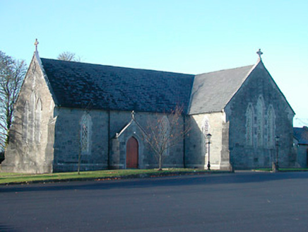
Catholic Church of the Immaculate ConceptionChurch/chapel · 790 yd

Explorer Tom Catholic Church of the Immaculate Conception in Drumraney is proud of its dark gray limestone and its smug little…

school master's house1237 yd

Explorer Tom School master's house in Cartroncoragh is stuck in a feud with the next village over who invented the perfect apple…
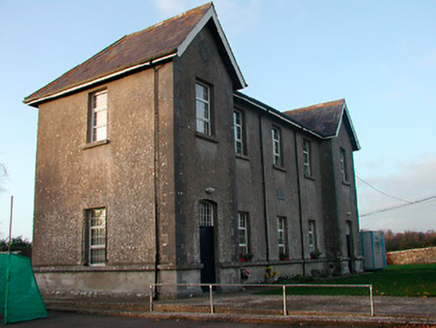
Drumraney National SchoolSchool · 1260 yd

Explorer Tom Drumraney National School had a feud with the next village over who could spell 'education' better, which was…

Earthwork in KilcornanEarthwork · 1.2 mi

Explorer Tom Earthwork in Kilcornan has a secret it would only tell after a few pints of stout, involving ring-ditches and a lodge.…

Maryland GAA pitchGAA ground · 1.4 miKillininneen CastleCastle, unclassified · 1.6 mi

Explorer Tom Killininneen Castle has a curse that only hits people who don't wave properly, so make sure your hand movements are…

Killininneen HouseHouse · 1.6 mi

Explorer Tom Killininneen House has had so many names it could fill a phone book, but it still looks like it just woke up from a…

Earthwork in DunnamonaEarthwork · 1.7 mi

Explorer Tom Earthwork in Dunnamona really hates visitors because they keep stepping on its invisible face. It used to be a round…
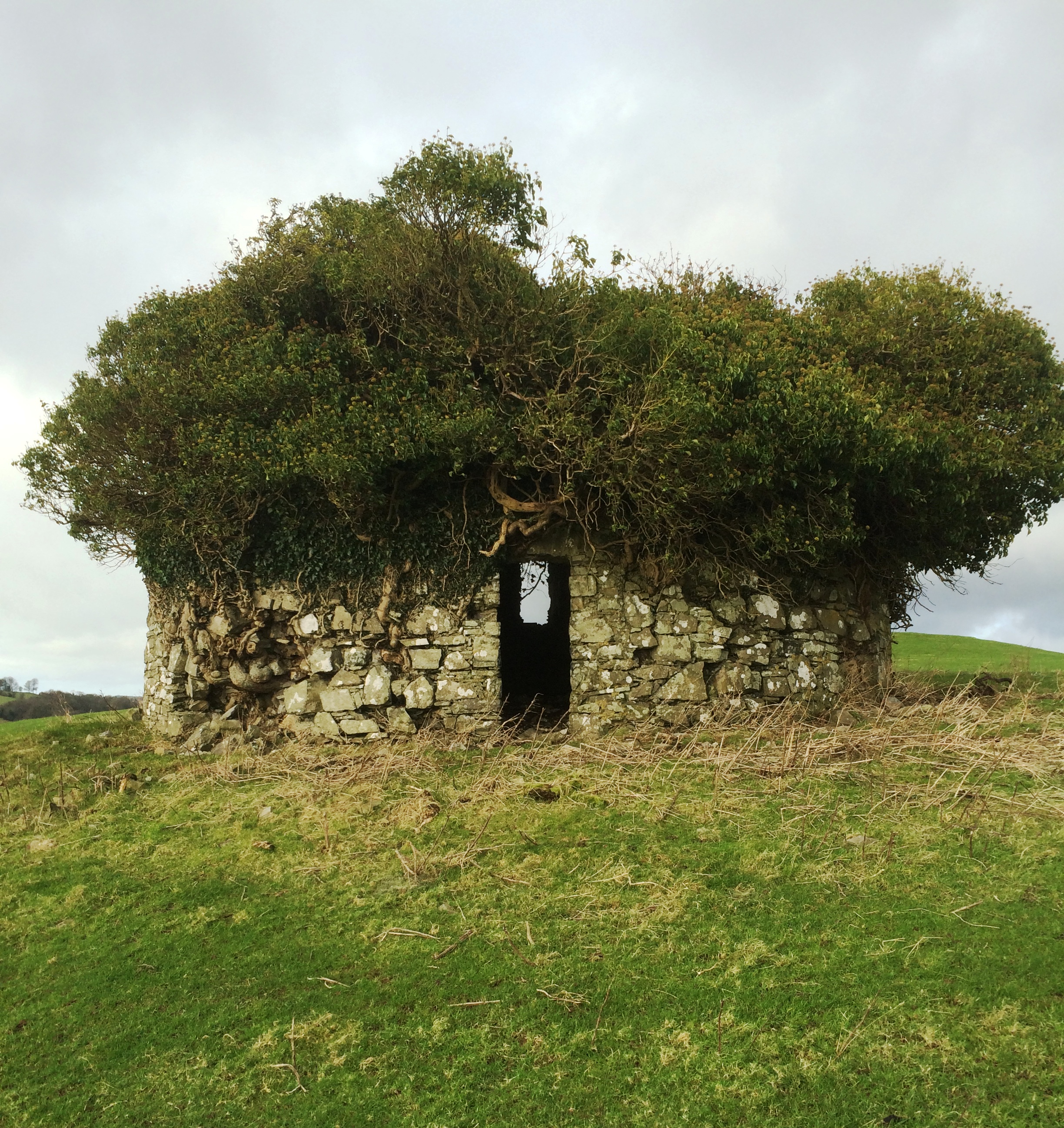
Fairy fort / earthen ringfort in Bryanmore UpperFairy fort / earthen ringfort · 1.8 mi

Explorer Tom The ringfort in Bryanmore Upper nearly got famous once, but then someone started quarrying chunks out of it for their…

More historic places in County Westmeath · All of County Westmeath

Add to this placeAdd a picture Add a detailed tip Add a story

Explore the map1,095,414 places to discover

Next place · or swipeDrumraney Old Cemetery