What is recorded here
Situated towards the bottom of a S-facing slope. There is a record of a rectangular house-site defined by low earthen banks at the centre and of moated site (WA015-059001-), and of a smaller feature (WA015-059003-) inside the perimeter at SE from 1983 (SMR file), but these cannot be confirmed because of the growth.
Compiled by: Michael Moore
Date of upload: 17 December 2010.
The monument record does not grant public access. Check the route and ask the landowner before entering private land.
- What survives
- Recorded monument
Places near here
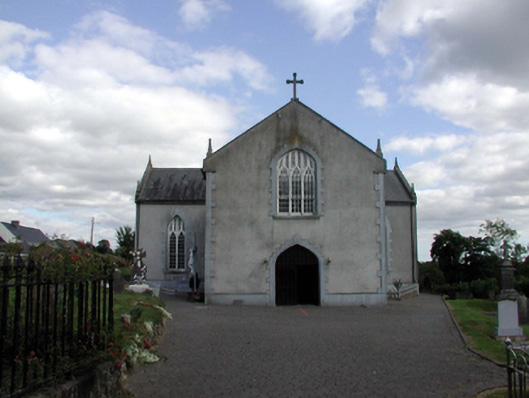 Saint Anne's Catholic ChurchOfficially recorded historic building · 1030 yd
 Holy WellHoly well · 1147 yd
 Embanked enclosureEnclosure · 1.0 mi
 Church in KilcanaveeChurch · 1.3 mi
 Croughaun HillMountain / peak · 1.4 mi
 Castle (in ruins)Castle, unclassified · 1.9 mi
 Site of Cas.Castle, unclassified · 1.9 mi
 8 Arch GalleryGallery · 2.0 mi
 Kilclooney WoodForest · 2.2 mi
 Crough WoodWood · 3.0 mi
 CoumshingaunMountain corrie and lake · 3.4 mi
 LackaduffMountain / peak · 3.5 mi
Other information
Photo: Credit not shown in the picture search · Rights wording not checked; contact us if this picture should be removed