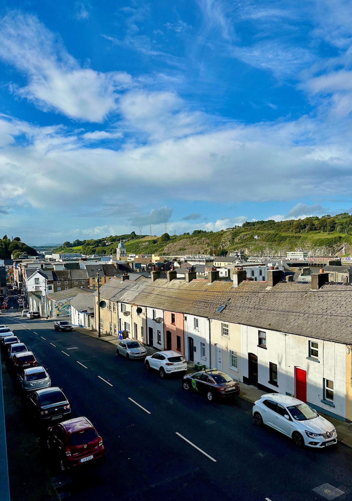
What is recorded here
Marked as a subcircular embanked enclosure (ext. dims. c. 25-30m) on the 1840 ed. of the OS 6-inch map, and as a circular embanked enclosure (ext. diam. c. 45m) on the 1926 ed. Situated on a gentle S-facing slope. D-shaped, scrub-covered area (dims. 32m N-S; 28m E-W) defined by an earthen bank (Wth 3-4m; H 0.2-0.5m) with the straight side at W where it may have been altered by an outer field bank extending N-S. There is no visible fosse or entrance, and the bank is planted with coniferous trees. Earthwork (WA015-021----) is c. 50m to the S and rath (WA015-020----) is c. 150m to the ENE.
The above description is derived from the published 'Archaeological Inventory of County Waterford' (Dublin: Stationery Office, 1999). In certain instances the entries have been revised and updated in the light of recent research.
Date of upload/revision: 28th July, 2010.
The monument record does not grant public access. Check the route and ask the landowner before entering private land.
- What survives
- Recorded monument
Places near here
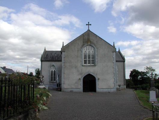 Saint Anne's Catholic ChurchOfficially recorded historic building · 1616 yd
 Holy WellHoly well · 1742 yd
 Burnt mound in GraiguearushBurnt mound · 1.1 mi
 Kilclooney WoodForest · 1.5 mi
 Site of CastleCastle, unclassified · 1.6 mi
 Palliser MillRuins · 1.7 mi
 Castle (in ruins)Castle, unclassified · 1.9 mi
 Crough WoodWood · 2.0 mi
 Croughaun HillMountain / peak · 2.0 mi
 Magic Road (finish)Heritage attraction · 2.5 mi
 Magic Road (start)Heritage attraction · 2.5 mi
 LackaduffMountain / peak · 2.9 mi
Other information
Photo: Credit not shown in the picture search · Rights wording not checked; contact us if this picture should be removed