
What is recorded here
In SW quadrant of ringfort (WM026-070----) are the remains of a long rectangular-shaped house site (dims. int. L 14.3m E-W; approx. int. Wth 3.6m N-S) defined by a slight earthen bank (Wth 2.8m; H 0.4m). A short linear bank extends to W from the NW corner. A similar linear bank extends to N from the NE corner to the perimeter of the ringfort and is cut by a later field boundary running ENE-WSW across the N sector of the ringfort. There is a gap between the SE corner and another portion of a linear bank which extends to S on the same alignment and could be a continuation of the previous bank, indicating that these banks predate the house site.
Compiled by Alison McQueen, Vera Rahilly and Caimin O’Brien.
Date of upload: 02 October 2019
The monument record does not grant public access. Check the route and ask the landowner before entering private land.
- What survives
- Recorded monument
Places near here
 Fulacht fia in Corbally (fartullagh By.)Fulacht fia · 132 yd
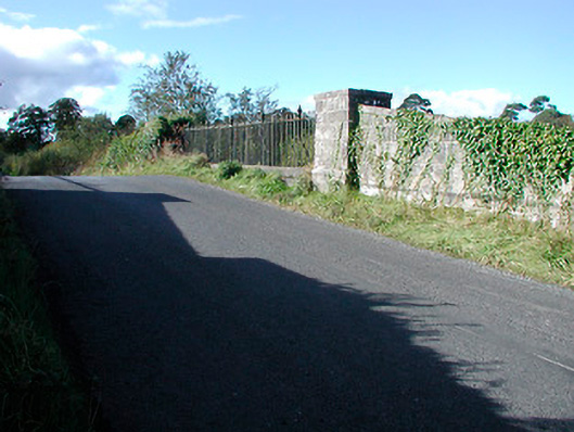 bridgebridge · 462 yd
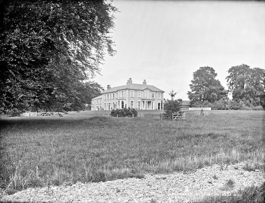 Partially indicatedEnclosure · 478 yd
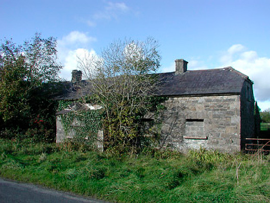 worker's houseworker's house · 669 yd
 Castle in RuinsCastle, tower house · 1.2 mi
 CastleCastle, tower house · 1.2 mi
 Dysart IslandIsland · 4.4 mi
 Ash IslandIslet · 4.5 mi
 United Nations War MemorialMemorial · 4.8 mi
 Roundhill WoodForest · 11 mi
 Hut site in Corbally (fartullagh By.)Hut site · 535 yd
 Partially hachuredFairy fort / earthen ringfort · 756 yd
Other information
Photo: Credit not shown in the picture search · Rights wording not checked; contact us if this picture should be removed