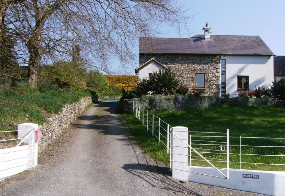
What is recorded here
Situated on the W side of a high rise, in pasture, with good views to W, NW and S. The Down Survey Parish map of Drumraney depicts a castle (WM023-070001-) in Bryanmore townland on or close to site of ‘The Breen’. Outside the earthwork on the SE is the remains of a small subrectangular house site.
Compiled by: Alison McQueen, Vera Rahilly and Caimin O’Brien.
Date of upload: 30 July 2019
The monument record does not grant public access. Check the route and ask the landowner before entering private land.
- What survives
- Recorded monument
Places near here
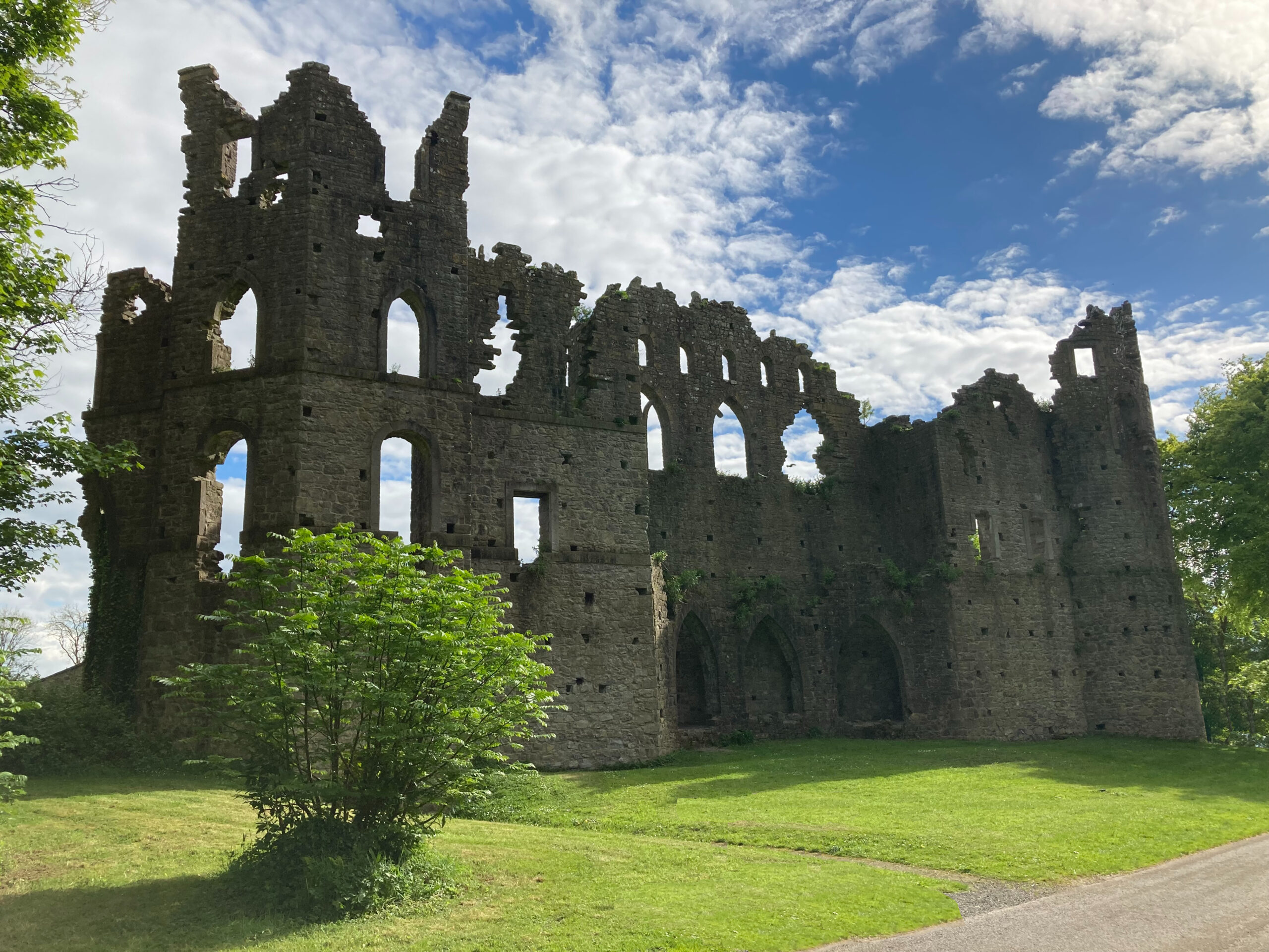 Sterns Folly, The BreenCastle, ringwork · 41 yd
 OutlinedEnclosure · 1093 yd
 Killininneen Househouse · 1121 yd
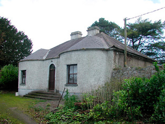 Walderstown Lodgehouse · 1460 yd
 Mass-rock in KillininneenMass-rock · 1714 yd
 Site of Lissanode CastleCastle, unclassified · 1.3 mi
 Dún na Sí Heritage CentreMuseum · 4.1 mi
 Dún na SíMuseum · 4.1 mi
 Noughaval CemeteryArchaeological place · 4.5 mi
 Charles BianconiMemorial · 4.7 mi
 Moate HillMountain / peak · 4.9 mi
Other information
Photo: Credit not shown in the picture search · Rights wording not checked; contact us if this picture should be removed