What is recorded here
In pasture, located 5m to SE of an enclosure (DG103-078001-) in gently undulating terrain broken by seams of limestone bedrock. Very slightly raised, circular area (diam. 5.5m) defined on the perimeter by remnants of a stone wall. The wall is poorly defined and is evident as a low, moss- and grass-covered rise (Wth c. 0.7m; ext. H 0.4m) from which occasional large stones protrude. Irregular-shaped limestone blocks protrudes from the grass immediately to E and S of the house site, some at least of which appear to be bedrock.
Attached images:
DG103-078002-_01.JPG viewed from NW
Compiled by: Jane O'Shaughnessy
Date of upload: 26 May 2015
The monument record does not grant public access. Check the route and ask the landowner before entering private land.
- What survives
- Recorded monument
Places near here
 Ballynacarrick Stone EnclosureEnclosure · 30 yd
 Ballynacarrick Low Stone EnclosureEnclosure · 202 yd
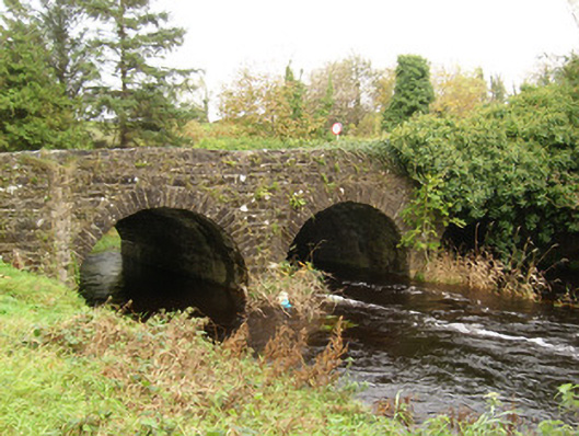 Ballintra Bridgebridge · 442 yd
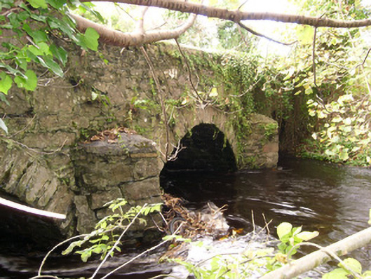 bridgebridge · 452 yd
 Castle (Site of)Castle, unclassified · 1447 yd
 HawthornHawthorn · 2.5 mi
 MurvaghOfficial bathing water · 2.8 mi
 Rooney's IslandIslet · 3.6 mi
 RossnowlaghOfficial bathing water · 3.9 mi
 Ballyboyle IslandIslet · 4.5 mi
 Ballyboyle Castle (Site of)Castle, tower house · 4.6 mi
 Kilbarron Old Church GraveyardGraveyard · 5.1 mi