What is recorded here
In the centre of ringfort (WM025-133----) is a long rectangular-shaped house site defined by a low broad bank. There are slight traces of internal divisions. Two irregular earth and stone banks extend from the NW and NE corner toward the ringfort bank. A low, wide linear bank of earth and stone running NE-SW extends from the E bank of the house site to the ringfort bank at NE.
Compiled by Alison McQueen, Vera Rahilly and Caimin O’Brien.
Date of upload: 24 September 2019
The monument record does not grant public access. Check the route and ask the landowner before entering private land.
- What survives
- Recorded monument
Places near here
 Kilbride ChurchChurch · 453 yd
 Ecclesiastical enclosure in Adamstown (moycashel By.)Ecclesiastical enclosure · 496 yd
 Adamstown Castle (in Ruins)Castle, tower house · 632 yd
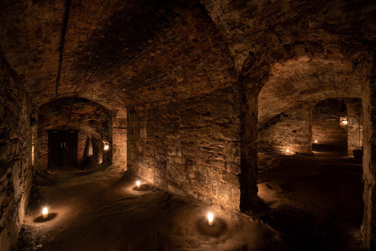 Man-made underground passage in Adamstown (moycashel By.)Man-made underground passage · 779 yd
 bridgebridge · 1047 yd
 Rathdrishoge CastleCastle, unclassified · 1391 yd
 Hill of UisneachMountain / peak · 3.4 mi
 Sam's ParkForest · 3.7 mi
 European ashEuropean ash · 3.8 mi
 St. Columba's WellSpring · 8.6 mi
 Moate HillMountain / peak · 9.5 mi
 Charles BianconiMemorial · 9.6 mi
Other information
Photo: Credit not shown in the picture search · Rights wording not checked; contact us if this picture should be removed