What is recorded here
A house at Clogher is marked on an Estate Map dated 1777 in NLI Ms. (19,672 (58)). It was not encountered.
Compiled by: Michael Moore
Date of upload: 24 August 2010
The monument record does not grant public access. Check the route and ask the landowner before entering private land.
- What survives
- Recorded monument
Places near here
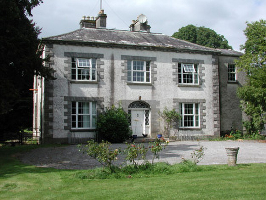 Moylurg Housecountry house · 369 yd
 R. C. ChapelChurch · 706 yd
 Moylung Castle (in ruins)Castle, unclassified · 751 yd
 ToberlonaunHoly well · 981 yd
 IndicatedFairy fort / earthen ringfort · 1007 yd
 Lough Key Forest ParkWood · 3.1 mi
 Boyle AbbeyHeritage attraction · 3.3 mi
 King William MemorialMonument · 3.3 mi
 Erris BayBay · 3.4 mi
 Horse-chestnutHorse-chestnut · 3.4 mi
 Castle (Site of)Castle, unclassified · 3.5 mi
 Longford HillMountain / peak · 3.5 mi