Places near here
Photo credits
- National Inventory of Architectural Heritage
- Kenneth Allen, Geograph · CC BY-SA 2.0
- Kenneth Allen, Wikimedia Commons · CC BY-SA 2.0
- Andreas F. Borchert, Wikimedia Commons · CC BY-SA 4.0
- Picture: Think Business
- Picture: Barrack Hill Town Park
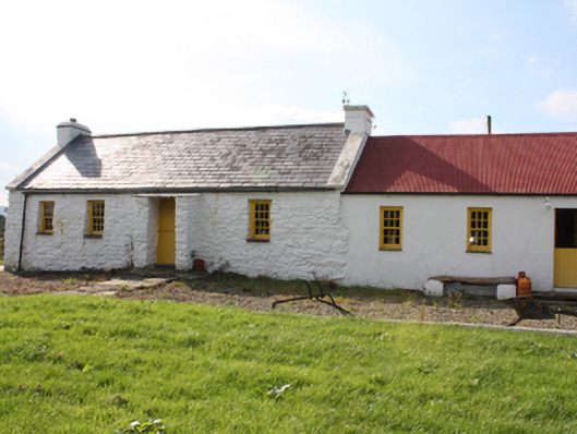
 Faherna CottageHouse · 871 yd
Explorer Tom Faherna Cottage in Dunross has been sheltering locals since c. 1850, long enough to see families come and go like seasons. It wasn’t on the maps until after 1837, but a fellow named Crampsey bought it from Mr Young in 1907. Now it’s a holiday home, swapping thatched secrets for modern comfort.
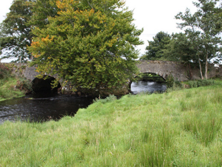 New BridgeBridge · 1398 yd
Explorer Tom New Bridge in Culdaff sits right on the river's natural island, creating a surprisingly wide gap between its twin arches. That little overflow arch shows the masons back around 1800 were playing it safe against heavy floods. It’s a sturdy, honest bit of engineering that still carries the village traffic without complaining.
 McGuinness’Pub · 1608 yd
Explorer Tom McGuinness’ in Culdaff Main Street probably has a sign that says 'No Dogs Except This One,' showing clear favoritism. I bet the owner knows every dog in the village by name and will scold yours for being bad manners. Bring wellies and low expectations, leave delighted.
 Culdaff ArmsPub · 1626 yd
Explorer Tom Culdaff Arms is definitely where you go if your arm hurts from carrying too many heavy bags or emotional baggage. The name suggests heavy lifting or perhaps just deep exhaustion after a long day of work. Tell me if the gossip I made up is true.
 IndicatedGraveyard · 1659 yd
Explorer Tom Graveyard in Culdaff is where road workers actually pulled human bones out of the dirt during widening works. It’s a spooky reminder that St. Buadan’s old church was built right here, and the earth kept its secrets for centuries.
 GraveyardBurial ground · 1666 yd
Explorer Tom Graveyard in Culdaff is marked as an early ecclesiastical site, supposedly founded by St Buadan, but there’s barely anything left to prove it. Road workers actually found human bones while widening the village road, proving this was once a much bigger burial ground. It’s a quiet spot with a surprisingly gritty history underneath the surface.
 CuldaffOfficial bathing water · 1.9 mi
Explorer Tom Culdaff Beach looks as if three pieces of the map agreed to meet for tea: dunes to the west, two rock outcrops to the southeast, and the Culdaff River to the northwest. The sand has quite a supporting cast. This protected coast deserves a gentle visit.
 CastleCastle, unclassified · 2.0 mi
Explorer Tom Castle in Carthage may survive only as shapeless stone mounds on a promontory. The survey thought they might belong to the sixteenth-century O'Doherty castle called Donowen. A wall closed the landward side, while another guarded a sea approach. Those defences are recorded; the exact shape of the lost castle is not.
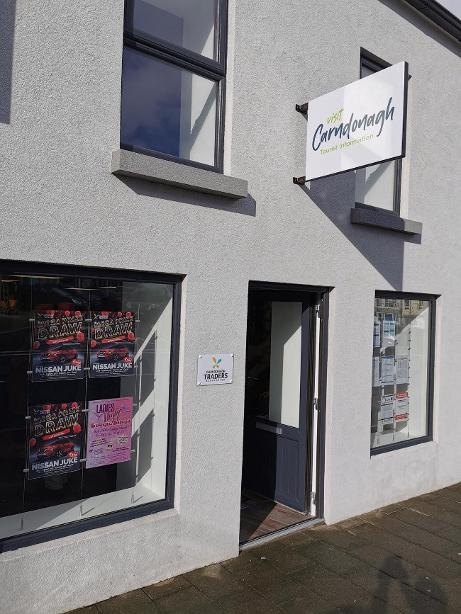 Visit CarndonaghVisitor information · 3.6 mi
Explorer Tom Visit Carndonagh in County Donegal is where the builder was really thinking, 'I’ll just put this here and hope nobody notices how random it looks.' It’s a little sign that seems to have wandered in from a different century and got stuck there, looking confused. It’s charming in a clumsy way, like a dog trying to fetch a ball it can’t reach. A good place to forget your phone for ten minutes.
 Barrack Hill Community GardensGarden · 3.6 mi
Explorer Tom Follow the growers on Barrack Hill and you will find sixteen raised beds and three polytunnels. One starts the seedlings; the other two keep things growing. I could claim to know their secret for a good tomato, but the gardeners would catch me bluffing before I got through the gate. These are working plots, so ask the committee before going in.
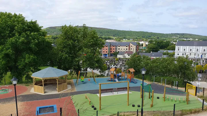 Barrack Hill Town Park PlaygroundChildren's playground · 3.7 mi
Explorer Tom At Barrack Hill, little legs get the climbing frames, swings, balance beams and monkey bars. The roundabout was designed to include more children, and older ones have their own obstacle trail nearby. If I were seven, I would call the monkey bars a test of courage. If I were a parent, I would be looking for the covered shelter. Carndonagh's park committee says local families helped shape the refurbished playground, and the older children's activity area reopened in 2023.
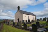 Carndonagh Early Church GraveyardGraveyard · 4.0 mi
Explorer Tom Carndonagh Early Church Graveyard makes me slow the map down: it surrounds an eighteenth-century church thought to stand where an earlier church stood. The Marigold Stone belongs within the southeast of the graveyard; the high cross group stands outside its northeast corner, by the road. Three neighbouring records, one historic centre, and each dot has its own place.
More historic places in County Donegal · All of County Donegal

What do you know about this place?Tap to add a comment or ask a question