DDiscover AloneMapAbout

House in Dromore

House
House in Dromore
Photo: National Inventory of Architectural Heritage · Report the wrong picture

This does not grant access. Most recorded buildings are privately owned; view them only from public ground unless the owner allows entry.

What do you know about this place?Tap to add a comment or ask a question

What you write will be public.

What is recorded here

Detached seven-bay two-storey house, built c. 1820 and extended c. 1900, having single-storey flat-roofed returns to rear (north-west) and with square-headed carriage-arch to the north-east end of the main elevation (south-east). Later also in use as a shop, c. 1900. External flight of steps to the north-east gable…

Read the whole record
Detached seven-bay two-storey house, built c. 1820 and extended c. 1900, having single-storey flat-roofed returns to rear (north-west) and with square-headed carriage-arch to the north-east end of the main elevation (south-east). Later also in use as a shop, c. 1900. External flight of steps to the north-east gable end giving access to doorway at first floor level. Formerly two separate adjoining buildings, now in single ownership. Pitched natural slate roof with raised smooth rendered coping/verges to gable ends (south-west and north-east), and having three rendered chimneystacks. Iron rooflights to the rear pitch of roof. Smooth-rendered ruled-and-lined walling with rendered block-and-start quoins to the corners and rendered plinth to base. Whitewashed rubble stone walls to the rear (north-west). Square-headed window openings having painted stone sills and with two-over-two pane horned timber sash windows. Enlarged square-headed window opening to former shop having three-over-three pane fixed timber display window. Square-headed door openings with replacement doors. Replacement timber double-doors to carriage-arch; timber battened door to north-east gable at first floor level. Road-fronted a short distance to the south-west of rural crossroad junction and to the west of Mountcharles. Single-storey outbuilding (possible originally a dwelling) across road to the south-west, built c. 1860, having pitched corrugated-metal roof with raised render coping to gable ends, rendered rubble stone walls (exposed to rear), splayed square-headed window openings (now blocked), and square-headed doorway with battened timber door and plinth blocks.
This appealing two-storey building, of early-to-mid nineteenth-century appearance, retains much of its early character and form. The irregular-spacing of the openings to the main elevation creates a pleasing vernacular character. Its visual expression and integrity is enhanced by the retention of salient fabric such as the timber sliding sash windows and the natural slate roof. It is robustly-built using local rubble stone masonry, which is exposed to the rear. This building was originally built as two separate adjoining dwellings that were later amalgamated to form a single property. It was also later partially in use as a shop, and retains an early fixed-pane timber display window that adds additional interest to this building. This building was probably extended to the east at some stage, possibly at the same time the shop was created. Buildings of this type were, until recently, a ubiquitous feature of the rural Irish countryside, and of small towns and villages. However, it is now rare to come across and example in such early condition as this building at Dromore, which adds to its significance. This building is a pleasing feature if the rural countryside to the west of Mountcharles, and is an integral element of the built heritage of the local area. The simple single-storey outbuilding across the road to the south-east, which was probably originally a dwelling but now acts as an outbuilding, adds to the setting and context.

From the Buildings of Ireland (National Inventory of Architectural Heritage) record 40909933

Places near here

Photo credits
  • Maker not stated on source page, genius.com
  • National Inventory of Architectural Heritage
  • Donegal GAA; photographer not stated, donegalgaa.ie
  • Maker not stated on source page, readymap.irish
  • Maker not stated on source page, au.pinterest.com
  • N Chadwick, Geograph · CC BY-SA 2.0
  • Kenneth Allen, Geograph · CC BY-SA 2.0
  • P L Chadwick, Geograph · CC BY-SA 2.0
  • Maker not stated on source page, ca.pinterest.com
Fairy fort / earthen ringfort in Dromore (ballintra Ed)Fairy fort / earthen ringfort · 948 yd

Explorer Tom Fairy fort / earthen ringfort in Dromore is just an arc of bank on a drumlin, fading out at both ends into modern field…

Salthill HouseWalled garden · 1451 yd

Explorer Tom Salthill House walled garden has a bird that refuses to leave, acting like the entire structure is its personal throne…

Gerald Gallagher Memorial Park, St. Naul's GAA, MountcharlesGAA ground · 1454 ydPaddy Kelly's CottageHouse · 1508 yd

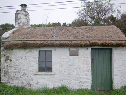
Explorer Tom Paddy Kelly's Cottage has metal pegs on its eaves that look like it’s trying to dock in the sky. Built around 1820, I…
Mountcharles Railway StationStore/warehouse · 1729 yd

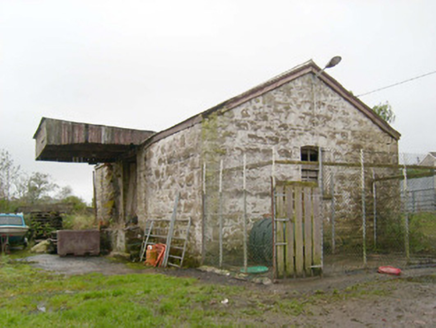
Explorer Tom Mountcharles Railway Station in Hall Demesne is keeping its New Year’s resolution to stop leaking secrets, but it keeps…

water pump1758 yd

Explorer Tom Water pump in Mountcharles has a big old turning wheel that looks like it’s waiting for someone to spin it. Built c.…

Kitty Joe’s CafeCafé · 1.0 mi

Explorer Tom Kitty Joe’s Cafe is open till four, so don’t stay up too late dreaming about coffee or the cat inside might be judging…

Munterneese Fairy FortFairy fort / earthen ringfort · 1.0 mi

Explorer Tom Munterneese Fairy Fort is a squashed oval hidden on a drumlin shoulder. The earthen bank is barely three inches high…

Salthill CabinCafé · 1.0 mi

Explorer Tom Salthill Cabin near Mountcharles is likely just a shed with a coffee machine and serious delusions of grandeur. It’s in…

Gillespie BrosHouse · 1.0 mi

Explorer Tom Gillespie Bros has an integral square-headed carriage-arch that looks like it is checking every horse’s height before…

Kozy Kip BarHouse · 1.0 mi

Explorer Tom Kozy Kip Bar combines two buildings from about 1790. One side kept a timber shopfront dating to about 1860, while the…

Mapped cemeteryCemetery · 1.9 mi

Explorer Tom Mapped cemetery claims its best friend is a local seagull named Kevin who guards the back row from any potential…

More historic places in County Donegal · All of County Donegal

Add to this placeAdd a picture Add a detailed tip Add a story

Explore the map1,095,414 places to discover

Next place · or swipeFairy fort / earthen ringfort in Dromore (ballintra Ed)