What is recorded here
Munterneese Fairy Fort is a ruined oval ringfort on a Donegal drumlin, its earthen bank reduced to thirty-three centimetres and its wide fosse filled with silt. Cattle still walk the marshy shoulder where the ancient boundary disappeared into a modern field edge, turning a human home into an ordinary pasture. The fairies may have taken the walls back, leaving only a shallow dip for people to stumble through and forget.
Internal diam. 25.3m NE-SW, 18.85m NW-SE. An oval-shaped area enclosed by a largely destroyed earthen bank up to .33m in height on the E, and a silted-up fosse varying between 2m and 2.9m in width. Between the WNW and SSW the bank and fosse have been incorporated into a modern field boundary. The site is situated on the SSE shoulder of a WSW-ENE drumlin in fair to marshy pasture land.
The above description was derived from the 'Archaeological Survey of County Donegal. A description of the field antiquities of the County from the Mesolithic Period to the 17th century.' Compiled by: Brian Lacey with Eamon Cody, Claire Cotter, Judy Cuppage, Noel Dunne, Vincent Hurley, Celie O'Rahilly, Paul Walsh and Seán Ó Nualláin (Lifford: Donegal County Council, 1983). In certain instances the entries have been revised and updated.
Date of upload: 22 September 2008
The monument record does not grant public access. Check the route and ask the landowner before entering private land.
- What survives
- Recorded monument
Places near here
 Drumgorman Triple-Banked Fairy FortFairy fort / earthen ringfort · 1226 yd
 Inver Methodist Churchchurch/chapel · 1493 yd
 Salthill GardensHeritage attraction · 1.2 mi
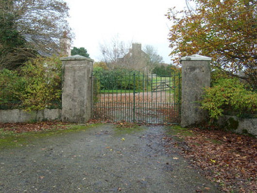 Salthill Housegates/railings/walls · 1.2 mi
 Cloverhill / Drumbeg Fairy FortFairy fort / earthen ringfort · 1.4 mi
 White HillMountain / peak · 2.5 mi
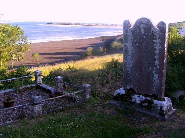 Killymard Old Church GraveyardGraveyard · 3.1 mi
 Drumlaghtafin HillMountain / peak · 3.5 mi
 MurvaghOfficial bathing water · 3.6 mi
 Ballyboyle Castle (Site of)Castle, tower house · 3.8 mi
 Rooney's IslandIslet · 4.1 mi
 Ballyboyle IslandIslet · 4.1 mi