Places near here
Photo credits
- National Inventory of Architectural Heritage
- Eric Jones, Geograph · CC BY-SA 2.0
- Kenneth Allen, Geograph · Creative Commons Attribution-ShareAlike 2.0
- Anne Burgess, Wikimedia Commons · CC BY-SA 2.0
- Maker not stated on source page, ca.pinterest.com
- Maker not stated on source page, www.newscientist.com
- Maker not stated on source page, www.flickr.com
- louise price, Geograph · CC BY-SA 2.0
- Maker not stated on source page, www.pinterest.com
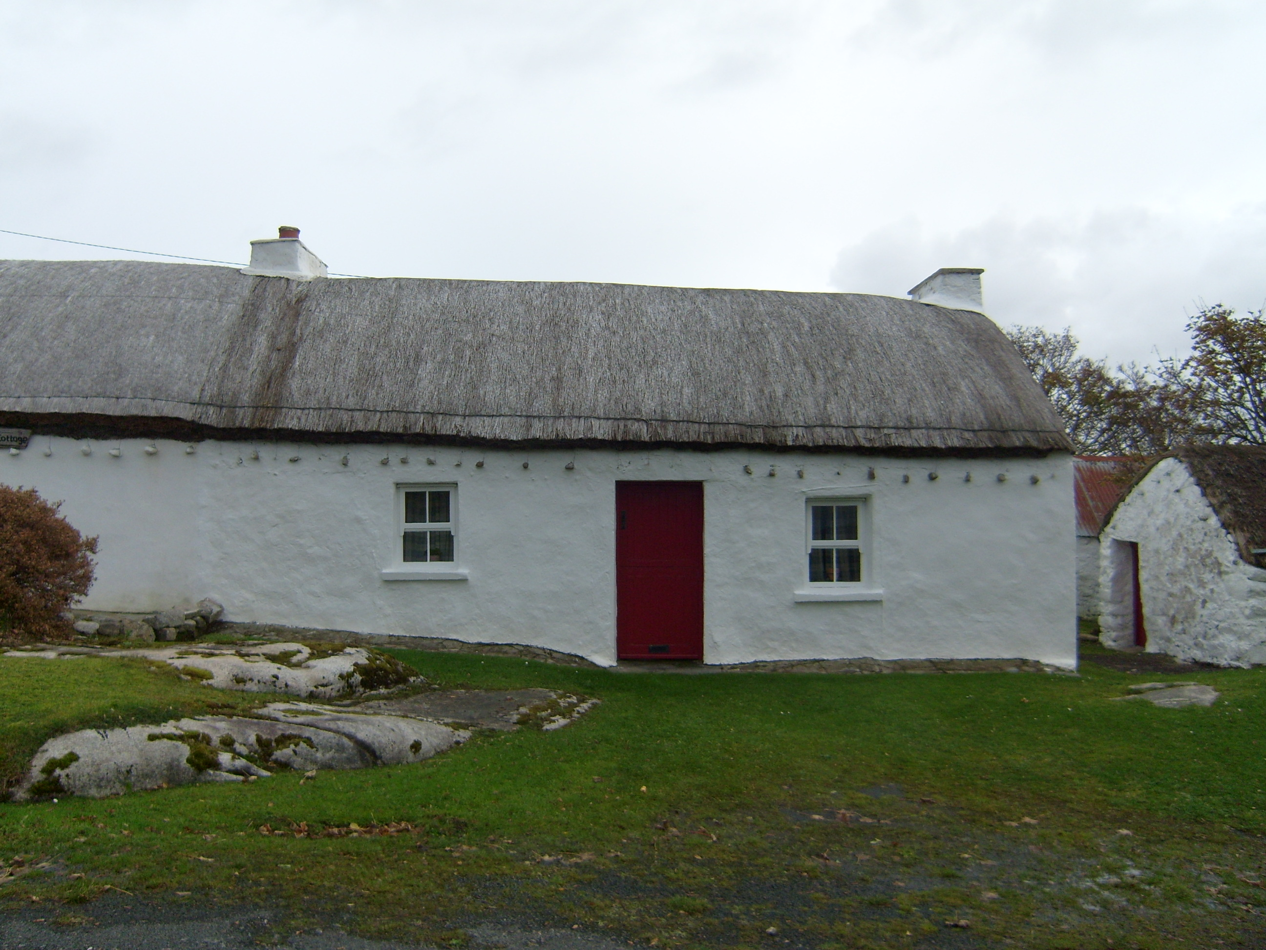
 Con's CottageHouse · 10 yd
Explorer Tom Con's Cottage in Derrydruel Upper, built c.1860, wears its stone and iron pegs like a safety harness for a very…
 Drumlaghdrid HillMountain / peak · 1511 yd
Explorer Tom Drumlaghdrid Hill stands in County Donegal with its access details currently unknown. A photograph shows the B7905 road…
 Traighena National SchoolSchool · 1.4 mi
Explorer Tom Traighena National School has a tall tale about a hidden tunnel to the pub that runs under the T-plan and straight into…
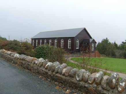 Saint Patrick's Catholic ChurchChurch/chapel · 1.8 mi
Explorer Tom Saint Patrick's Catholic Church in Meenacross looks like a sturdy wooden box from the outside. Built in 1930, its…
 Meenacross National SchoolSchool · 1.9 mi
Explorer Tom Meenacross National School dates to 1875, and the porch plaque tells part of its later story: “Social Centre” was…
 CroaghnamaddyMountain / peak · 2.5 mi
Explorer Tom Craigawaddykeagh in County Donegal is showing off its name like a peacock. If it won the lotto, it’d buy a bigger hat…
 Illan UilleIslet · 2.7 mi
Explorer Tom Illan Uille is on the map because someone spelled it wrong in a hurry and nobody wanted to fix it afterwards. The…
 Megalithic tomb in Cró Na MadadhMegalithic tomb · 2.7 mi
Explorer Tom Megalithic tomb in Cró Na Madadh is a bit of a mystery, as locals claimed an immense cromlech was here. Turns out it…
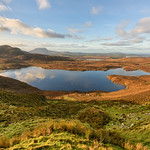 Lough Illion IslandIslet · 2.8 mi
Explorer Tom Lough Illion Island would order the biggest chipper possible at any local shop, specifically requesting extra mayo and…
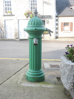 water pump2.9 mi
Explorer Tom Water pump in Dunglow wears its Ham Baker & Co. Ltd. mark like a proud badge of honour. I imagine it waddling down from…
 DooeyOfficial bathing water · 3.2 mi
Explorer Tom Dooey Beach gives you three kilometres of Donegal sand and then dares you to say you have run out of room for a walk. I…
 An Claondoire Burial Cairn above Lough AghnishCairn, burial cairn · 3.4 mi
Explorer Tom An Claondoire Burial Cairn above Lough Aghnish covered much of a steep hilltop when surveyed. It had several old…
More historic places in County Donegal · All of County Donegal

What do you know about this place?Tap to add a comment or ask a question