
What is recorded here
On intertidal zone of River Shannon estuary, c. 105m to N of flood relief embankment. A post row (LI004-032009-) lies c. 48m to W. Not depicted on OS historic mapping. Listed as ‘Carrigadirty Rock 1' by O’ Sullivan (2001, 306) who described the site as following; 'Wooden oval structure, 4.8m (E, W) by 4.6m (N-S), defined by inner ring of posts with possible ring of smaller stakes outside, c. 6m in diameter. There are at least 23 sharpened vertical roundwood posts and stakes, 4, 12cm in diameter, driven into a reedy, woody fen peat. A few stone slabs lie on the peat to the NE of the structure. A single calf mandible was recovered at the S side. A vertical post was radiocarbon-dated to 3330 ± 25 BP (1681-1529 cal. BC; GrN-20976). July 1994.'.
See attached Google Earth orthoimage
Compiled by: Alison McQueen and Vera Rahilly
Date of upload: 19 June 2020
The monument record does not grant public access. Check the route and ask the landowner before entering private land.
- What survives
- Recorded monument
Places near here
 Habitation site in Newtown (pubblebrien By.)Habitation site · 528 yd
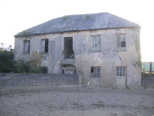 Churchfield Dairyhouse · 1.2 mi
 Grass IslandIslet · 1.3 mi
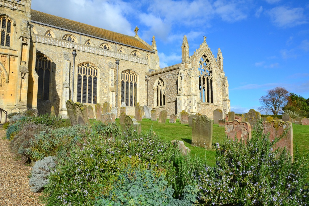 t. Margarets Church (in ruins)Church · 1.3 mi
 Rinekirk PointHeadland · 1.5 mi
 Maiden RockNamed rock · 1.6 mi
 Sailors HaggardMemorial · 1.6 mi
 Enclosure in BallynacarrigaEnclosure · 1.8 mi
 Castle Donnell (Site of)Castle, unclassified · 2.0 mi
 Carrigogunnell CastleRuins · 2.1 mi
 St James's WellSpring · 2.3 mi
 Bunratty Castlehouse · 2.5 mi
Other information
Photo: Credit not shown in the picture search · Rights wording not checked; contact us if this picture should be removed