What is recorded here
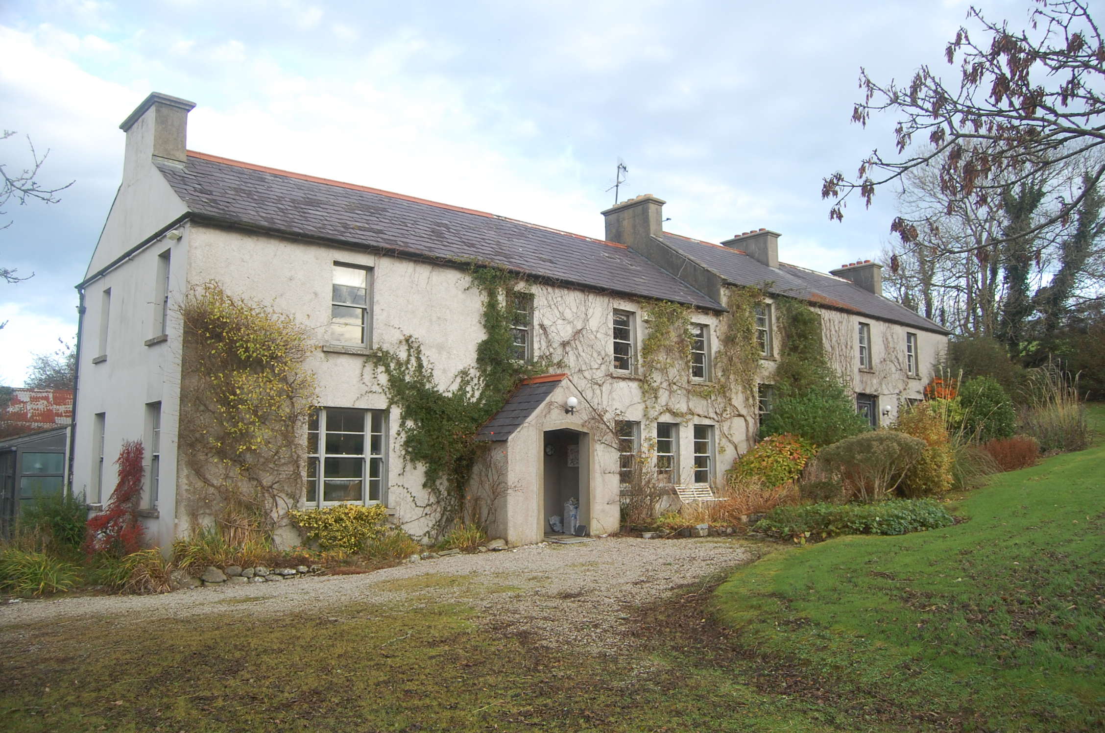
Detached four-bay two-storey house, built c.1780, having triple arrangement of windows to one ground floor bay, two-bay gable end and two-bay slightly recessed and lower rear return, and with four-bay two-storey addition of c.1905 in line to west end, stepping uphill. Gable-fronted porch to older block, lean-to timber-frame conservatory to west wall of return, and veranda to rear. Earlier block, addition, return, veranda and porch have slate roofs with terracotta ridge tiles. Cement-rendered chimneystacks to gables with concrete copings and buff clay and terracotta pots. Gables of older block have concrete copings. Black-painted cast iron rainwater goods. Painted roughcast rendered walls. Square-headed openings with timber sliding sash windows, two-over-two horizontal pane to main blocks and one-over-one pane to return, latter having margined stained-glass one-over-one pane window to rear, all with ogee horns. Recent glazed timber door to porch with glazed panels to each side. Flat-bar wrought-iron pedestrian gate in rubble boundary wall leading to adjacent orchard to west. Granite and schist flagstones to front (south) of house, one inscribed 'Here lyeth the body of David Campbell who departed this life June 23rd 1810 [aged]...'. Elevated site with extensive views over Mulroy Bay. Row of three single-storey rubble outbuildings adjoining house to north with pitched corrugated-metal roofs, slate-roofed lean-to to north, and further row of three single-storey rubble outbuildings detached from house, with corrugated-metal barrel roof. All outbuildings have cast-iron rainwater goods.
This house has developed over time and its overall appearance is coherent, well-detailed and fits into the sloping, elevated site. The site is labelled as "Glen Laruv" on the first Ordnance Survey and "Glenleary" on subsequent editions of the Ordnance Survey.
This does not grant access. Most recorded buildings are privately owned; view them only from public ground unless the owner allows entry.
Places near here
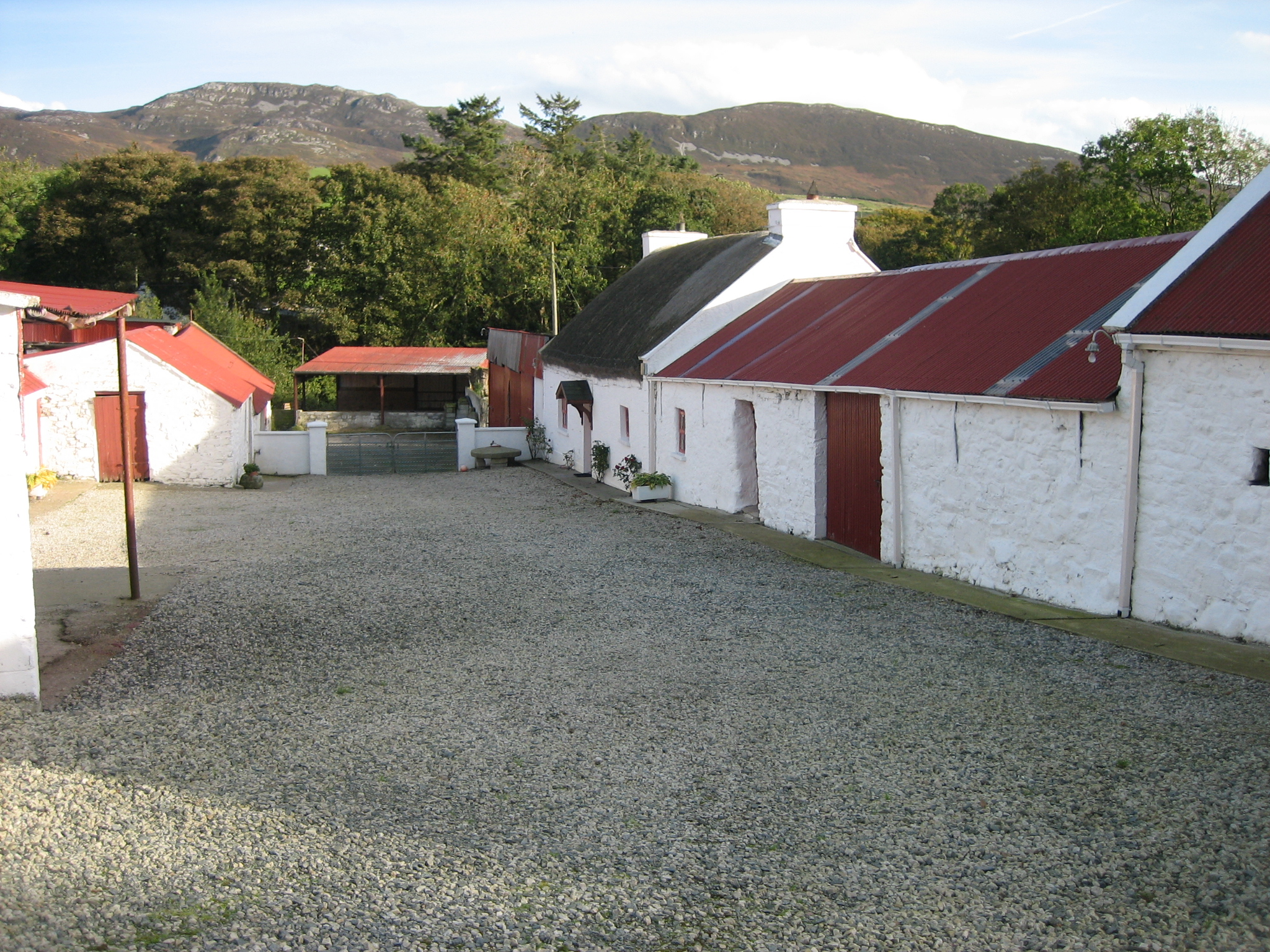 farmyard complexfarmyard complex · 686 yd
 Gortnatraw South Stone-and-Earth RingfortFairy fort / stone ringfort · 1.0 mi
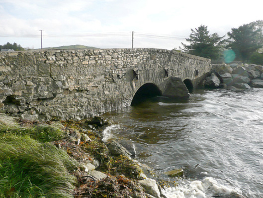 Keadew Bridgebridge · 1.3 mi
 Gortnatraw South Fairy FortFairy fort / earthen ringfort · 1.3 mi
 Cranberry IslandIslet · 2.2 mi
 Moross CastleCastle, tower house · 2.8 mi
 Rough IslandIslet · 2.9 mi
 WoodquarterForest recreation place · 3.1 mi
 PortsalonOfficial bathing water · 3.2 mi
 Ballymastocker StrandViewpoint · 3.4 mi
 Wild Atlantic Way:Ballymastocker StrandVisitor information · 3.4 mi
 Wych ElmWych Elm · 4.6 mi
Other information
Photo: National Inventory of Architectural Heritage · Website use allowed for educational or private purposes with source credit