
What is recorded here
From the National Monuments Service (Archaeological Survey of Ireland) record DG027-002
Places near here
Photo credits
- National Inventory of Architectural Heritage
- Maker not stated on source page, www.yourweather.co.uk
- Maker not stated on source page, www.360cities.net
- Kenneth Allen, Geograph · Creative Commons Attribution-ShareAlike 2.0
- Maker not stated on source page, www.pinterest.com
- Maker not stated on source page, en.m.wikipedia.org
- Maker not stated on source page, en.wikipedia.org
- Kenneth Allen, Geograph · CC BY-SA 2.0
- Kenneth Allen, Wikimedia Commons · CC BY-SA 2.0
- Maker not stated on source page, www.cntraveler.com
 farmyard complex1223 yd
Explorer Tom Farmyard complex in Ballymagowan Upper has a thatched roof made from flax, which I reckon must feel like wearing a very…
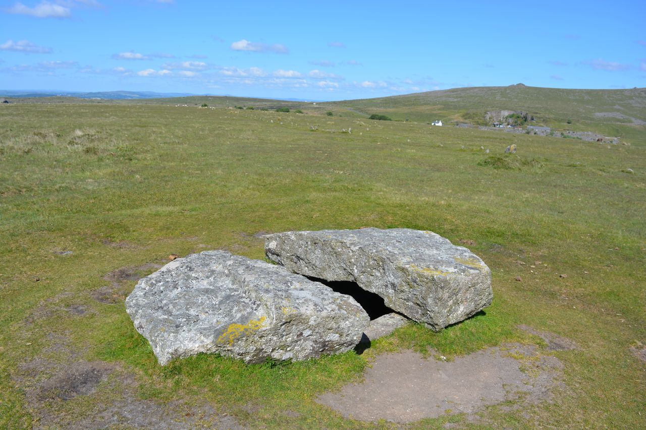 Gortnatraw South Bronze Age CistCist · 1493 yd
Explorer Tom Gortnatraw South Bronze Age Cist is a tiny, subrectangular box built from single slabs set on edge. Inside that cramped…
 Megalithic tomb in Ballymagowan Lower,ballymagowan UpperMegalithic tomb · 1.2 mi
Explorer Tom Megalithic tomb in Ballymagowan Lower, Ballymagowan Upper came from Kinahan's 1889 note of three large granite blocks…
 Fannet Presbyterian ChurchChurch/chapel · 1.3 mi
Explorer Tom Fannet Presbyterian Church is a 1913 building that looks like it’s wearing a very elaborate mask on its entrance front.…
 Bullaun stone in Carrowkeel (carrowkeel Ed)Bullaun stone · 1.3 mi
Explorer Tom Bullaun stone in Carrowkeel is listed as a recorded monument, but the details are currently tucked away in an archive…
 CairnCairn, unclassified · 1.4 mi
Explorer Tom Cairn in Ballynashannagh was being removed when a stone burial box was reported on its north side. The account records…
 Cist in BallynashannaghCist · 1.4 mi
Explorer Tom Cist in Ballynashannagh sits there with its face completely down, refusing to make eye contact. I suspect it is just…
 The Village InnPub · 1.4 mi
Explorer Tom The Village Inn sounds like it contains an actual village, but it’s just a pub on Main Street. Ask the bartender if he…
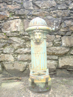 water pump1.4 mi
Explorer Tom Water pump in Carrowkeel has a lion's head spout and a Scottish maker's mark from Kilmarnock. The heritage survey found…
 McGinley'sPub · 1.4 mi
Explorer Tom McGinley's on Main Street has a guy who swears he saw a leprechaun pay his tab. He never left, probably still polishing…
 Drumfad Lower Standing StoneStanding stone · 1.5 mi
Explorer Tom This standing stone in Drumfad Lower used to stand proudly on a ridge with sweeping views of Trusk More, though it did…
 Juniper IslandIslet · 2.2 mi
Explorer Tom Juniper Island in Donegal is where the rabbits hold their weekly strategy meetings on how to take over the mainland…
More archaeology and monuments in County Donegal · All of County Donegal

What do you know about this place?Tap to add a comment or ask a question