What is recorded here
No visible marker remains at the holy well in Glen Lower, County Donegal, yet local tradition still points to the buried church, graveyard and water source beneath the rocky wood. The loss is not emptiness; it is a reminder that ownership and witness can disappear while the place continues to hold what it was given.
Local tradition records this as the site of a holy well (DG045-006002-), graveyard (DG045-006003-) and a church (DG045-006001-) known as Cill an Leabhair (Church of the Book). The farm is known as Church Farm but no features survive. Bones have been found during ploughing. The site is located in a rocky wooded area sloping from N to S. May be the same holy well as that listed by Ó Muirgheasa in 1936 as well no. 65 (Ó Muirgheasa 1936, 154). Described by Ó Muirgheasa in 1936 as, 'Manus O'Donnell's Betha Colmcille (p. 175) mentions a Colmcille Well in Glen Fanad, near a hill called Druim na Leabhar, or" Ridge of the Books." "And a spring burst forth in that place, and it is called the Well of Colmcille to-day. And it hath a great stone station (or monument) in sign of those marvels." I have no personal knowledge of this Holy Well' (Ó Muirgheasa 1936, 154).
The above description was derived from the 'Archaeological Survey of County Donegal. A description of the field antiquities of the County from the Mesolithic Period to the 17th century.' Compiled by: Brian Lacey with Eamon Cody, Claire Cotter, Judy Cuppage, Noel Dunne, Vincent Hurley, Celie O'Rahilly, Paul Walsh and Seán Ó Nualláin (Lifford: Donegal County Council, 1983). In certain instances the entries have been revised and updated.
Date of upload/revision: 05 January 2012
The holy well in Glen Lower is associated with Cill an Leabhair, traditionally believed to be linked to Saint Fachtna, a 7th-century Irish saint known for his scholarly and monastic activities. The site's name, meaning "Church of the Book," may reflect a tradition of learning or scriptural devotion connected to the saint.
The monument record does not grant public access. Check the route and ask the landowner before entering private land.
- What survives
- Recorded monument
Places near here
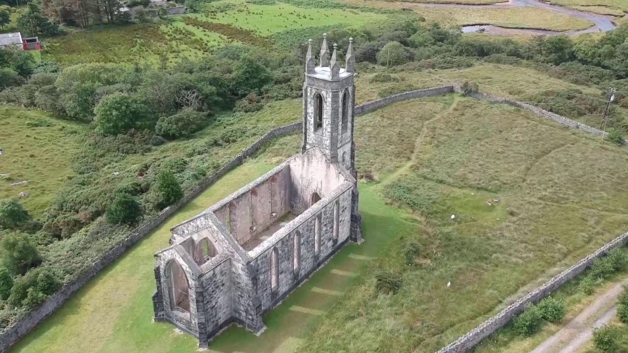 Church in Glen LowerChurch · 1 yd
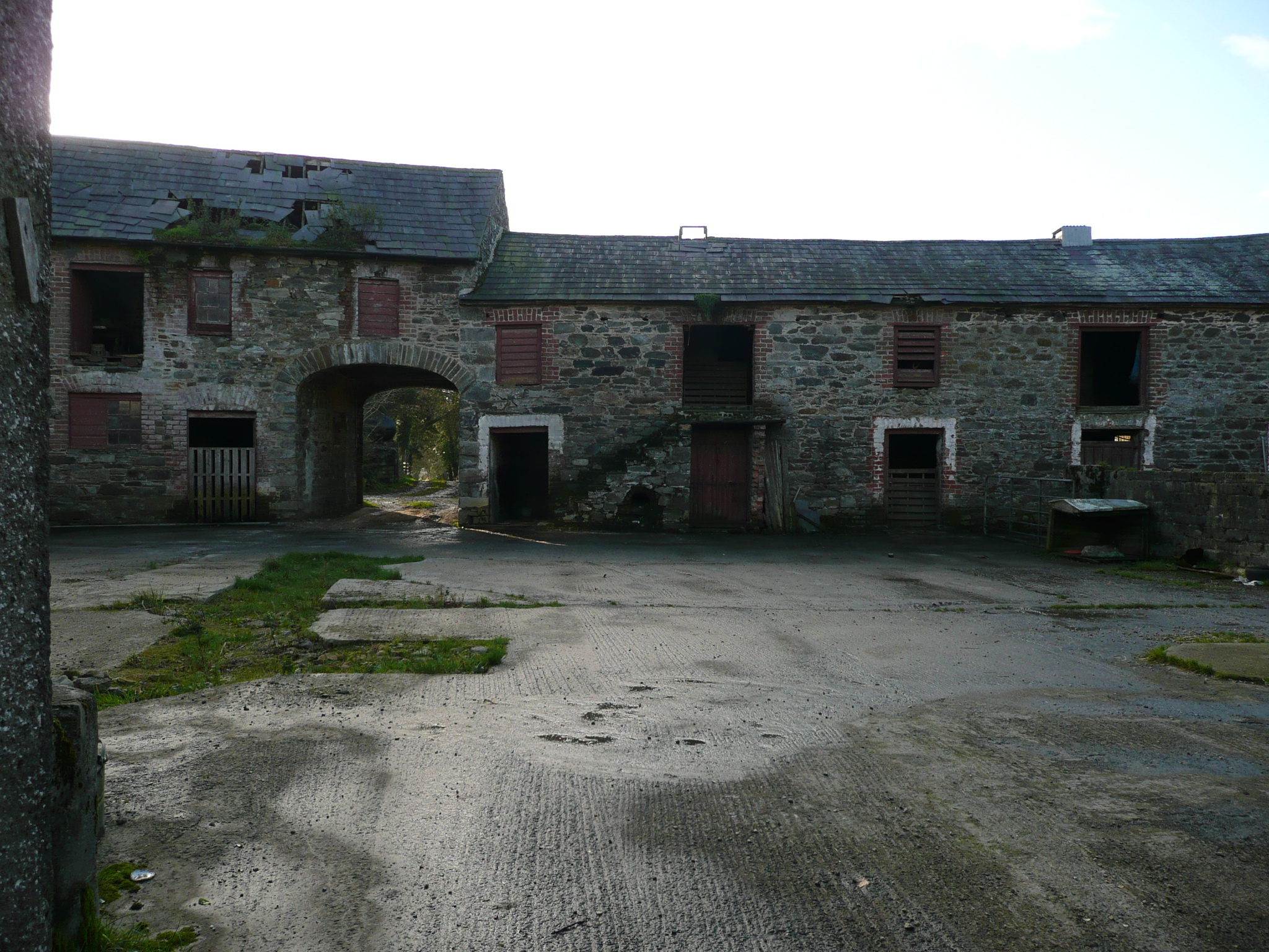 farmyard complexfarmyard complex · 948 yd
 Drummonaghan WoodForest recreation place · 1060 yd
 European BeechEuropean Beech · 1638 yd
 Tullyaughnish Old Church GraveyardGraveyard · 1.3 mi
 Bawn in RathmeltonBawn · 1.4 mi
 Ballyarr Stone RingfortFairy fort / stone ringfort · 1.6 mi
 Ardnaree Raised Fairy FortFairy fort / earthen ringfort · 2.3 mi
 Castle (Site of)Castle, unclassified · 3.7 mi
 Loughsalt MountainMountain / peak · 5.5 mi
 Croaghan HillMountain / peak · 5.9 mi
 Mullanadee ShoreBeach / strand · 6.1 mi