
What is recorded here
Referred to as Tobar Rónáin. The OS Letters note that it does not retain its original situation, which was in a bog (CLAJ 1925, 6). Tradition associated with it and it has been suggested that a pilgrimage once took place on the 15th August each year (IFC Schools MSS 665, 440). When inspected by Peter Danaher (ASI) in 1967 he described it as 'a watercress-filled pool, 3m in diam. with modern cattle opening into it.' (SMR file)
Compiled by: Claire Breen
Date of upload: 31 May 2012
Linked to Saint Ronan (Rónáin), the well was traditionally associated with healing and pilgrimage, particularly for those seeking cures for skin ailments and general infirmities. The site's original location in a bog suggests an ancient, possibly pre-Christian, sacred site later Christianized.
The monument record does not grant public access. Check the route and ask the landowner before entering private land.
- What survives
- Recorded monument
Places near here
 Man-made underground passage in DromiskinMan-made underground passage · 377 yd
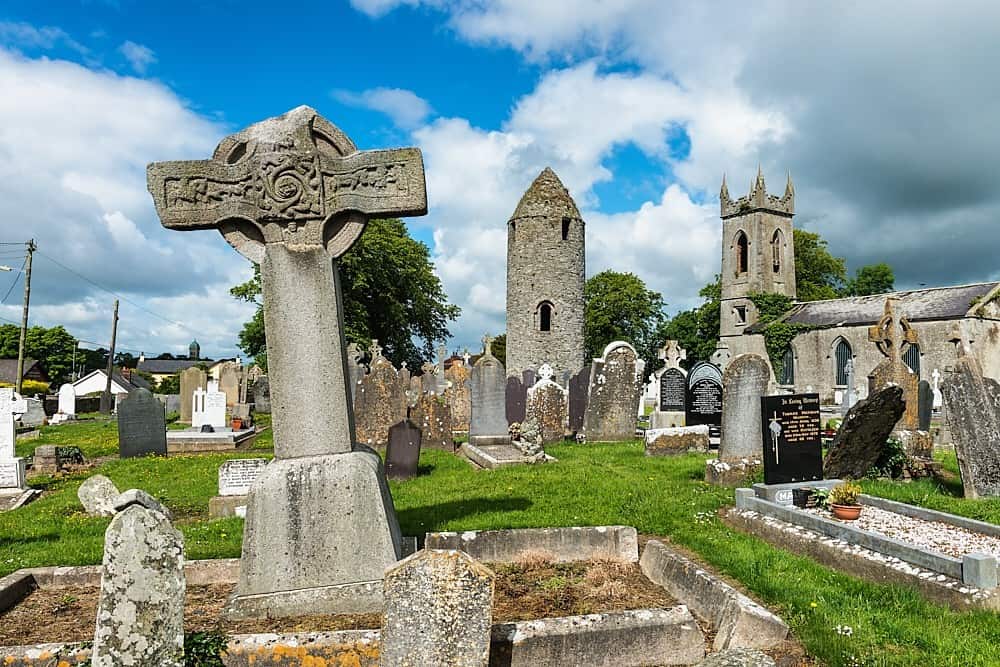 Font in DromiskinFont · 449 yd
 Saint Peter's Catholic Churchchurch/chapel · 483 yd
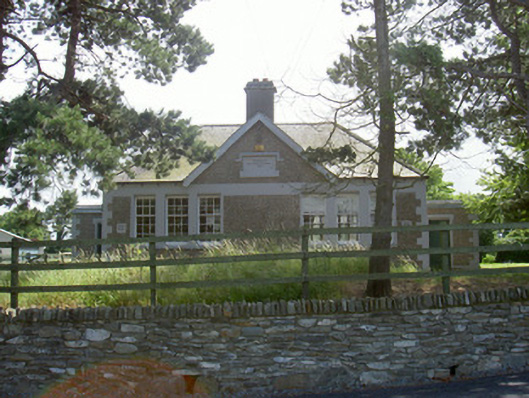 Dromiskin National Schoolschool · 551 yd
 Viking BoatHeritage attraction · 795 yd
 CastleCastle, unclassified · 1312 yd
 Drummeenagh HillMountain / peak · 1663 yd
 Castle (Site of)Castle, unclassified · 1.7 mi
 Long WoodForest · 2.4 mi
 Broad WoodForest · 2.5 mi
 BallybarrackMountain / peak · 4.7 mi
 Graveyard in Richardstown (ardee By., Richardstown Par.)Graveyard · 4.8 mi
Other information
Photo: Credit not shown in the picture search · Rights wording not checked; contact us if this picture should be removed