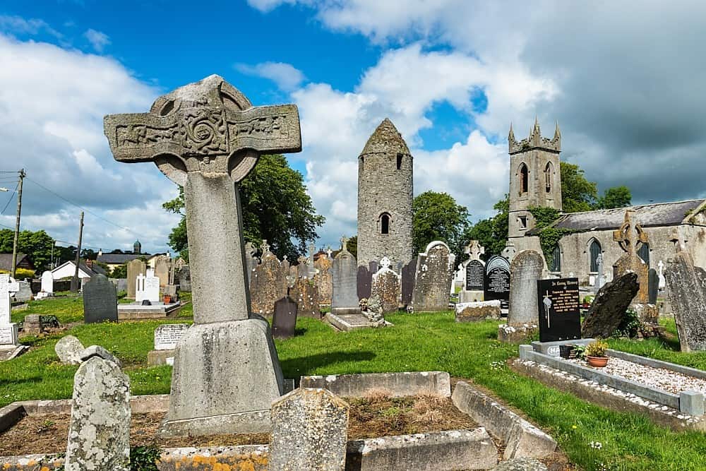
What is recorded here
At site of old Roman Catholic Church. Square shaped font (0.41m x 0.44m) with cut away corners and a circular depression, sunk into the ground. Used as a 'wart stone' according to local informant. (SMR file)
Compiled by: Claire Breen
Date of upload: 19 April 2012
A local church or high cross; wider significance not recorded.
The monument record does not grant public access. Check the route and ask the landowner before entering private land.
- What survives
- Recorded monument
Places near here
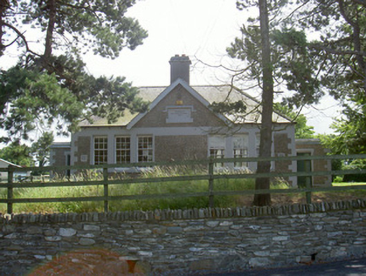 Dromiskin National Schoolschool · 104 yd
 Saint Peter's Catholic Churchchurch/chapel · 152 yd
 Man-made underground passage in DromiskinMan-made underground passage · 200 yd
 Holy well in DromiskinHoly well · 449 yd
 Viking BoatHeritage attraction · 563 yd
 CastleCastle, unclassified · 1394 yd
 Drummeenagh HillMountain / peak · 1.2 mi
 Castle (Site of)Castle, unclassified · 1.9 mi
 Long WoodForest · 2.1 mi
 Broad WoodForest · 2.2 mi
 BallybarrackMountain / peak · 4.4 mi
 Graveyard in Richardstown (ardee By., Richardstown Par.)Graveyard · 5.0 mi
Other information
Photo: Credit not shown in the picture search · Rights wording not checked; contact us if this picture should be removed