
What is recorded here
Situated on the flood-plain of the W-E River Blackwater, on the S bank of the river and c. 50m from the stream. This is a water-filled depression flanked by two whitethorns, but no traditions are attached to it. (Power 1952, 37)
Power, Rev. P. (1952) The placenames of the Decies. (second ed.) Cork University Press.
Compiled by: Michael Moore
Date of upload: 18 February 2011
A local holy well or ritual site; wider significance not recorded.
The monument record does not grant public access. Check the route and ask the landowner before entering private land.
- What survives
- Recorded monument
Places near here
 Ballysaggartmore TowersVisitor information · 573 yd
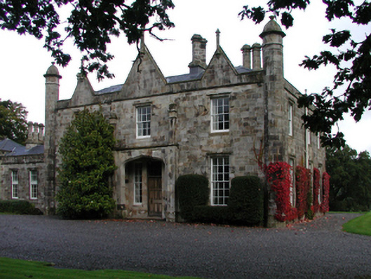 Fort Williamcountry house · 746 yd
 Ballysaggartmore HouseOfficially recorded historic building · 816 yd
 IndicatedCastle, unclassified · 964 yd
 Little LissEnclosure · 1.1 mi
 Man-made underground passage in BallysaggartmoreMan-made underground passage · 1.1 mi
 Lismore Castlefarm house · 1.3 mi
 LismoreMemorial · 1.4 mi
 Cottage IslandIslet · 1.5 mi
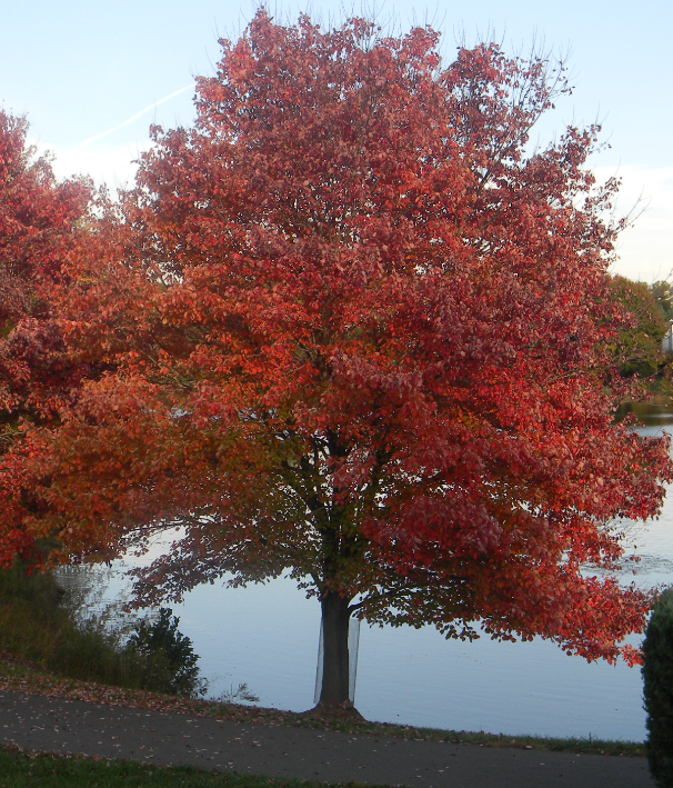 Red MapleRed Maple · 1.6 mi
 European ashEuropean ash · 1.6 mi
 Ambrose Power MemorialMemorial · 1.7 mi
Other information
Photo: Credit not shown in the picture search · Rights wording not checked; contact us if this picture should be removed