What is recorded here
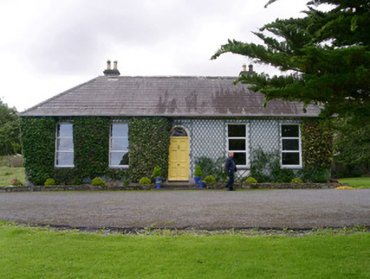
Detached five-bay single-storey rendered former house, built c. 1850, used as convent until c. 1995, now monastery. East and west side elevations each have three- and four-bay central sections respectively flanked by single-bay and two-bay breakfronts. Hipped slate roof, clay ridge and hip tiles, unpainted smooth-rendered corbelled chimneystacks, profiled metal gutters on painted timber overhanging eaves. Ivy-covered unpainted smooth-rendered walling, ashlar limestone plinth. Square-headed window openings, limestone sills, uPVC casement windows. Round-headed entrance door, painted timber six-panel door with bolection mouldings, margined fanlight over, limestone steps. Range of outbuildings to south, hipped slate roofs, rubble stone walls, extensively refurbished c. 2000. Expansive landscaped grounds to north overlooking Sligo Bay in distance. Hermits' retreat houses, pitched slate roofs, rubble stone walls, scattered throughout grounds. Hand-operated monastery bell, dated 1919, to north-west and woman, child and dog bronze sculpture c. 2000 to north-east. Carved limestone entrance gate pillars with, non-original, wrought-iron gates giving to winding gravel driveway leading to house.
This colonial-style house has been rescued from near dereliction by the religious order now responsible for it. It is a building type unusual in the county. The finely-crafted gate pillars display very high quality workmanship and appear to have been taken from another location.
From the Buildings of Ireland (National Inventory of Architectural Heritage) record 32401903
This does not grant access. Most recorded buildings are privately owned; view them only from public ground unless the owner allows entry.
Places near here
Enclosure in Lecarrow (tireragh By., Skreen Ed)Enclosure · 683 yd Dromard National SchoolSchool · 1094 ydbridge1356 ydKnockalongy North-East TopMountain / peak · 2.0 miEuropean ash2.8 miDunmoran StrandBeach / strand · 2.8 miAughris BeachBeach / strand · 3.3 miCabragh Wedge TombArchaeological place · 3.9 miAughris HeadHeadland · 4.2 miStrandhill BeachBeach / strand · 5.5 miKillaspugbrone GraveyardRuins · 6.3 miGraveyard in KillaspugbroneGraveyard · 6.3 mi
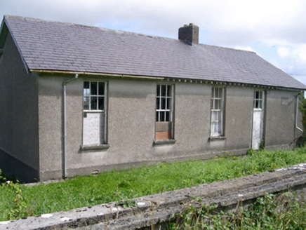 Dromard National SchoolSchool · 1094 yd
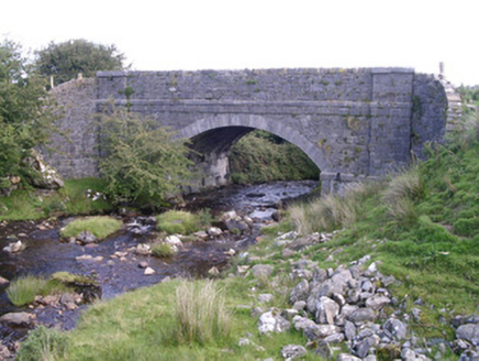 bridge1356 ydKnockalongy North-East TopMountain / peak · 2.0 mi
 European ash2.8 mi
 Dunmoran StrandBeach / strand · 2.8 mi
 Aughris BeachBeach / strand · 3.3 mi
 Cabragh Wedge TombArchaeological place · 3.9 mi
 Aughris HeadHeadland · 4.2 mi
 Strandhill BeachBeach / strand · 5.5 mi
 Killaspugbrone GraveyardRuins · 6.3 mi
 Graveyard in KillaspugbroneGraveyard · 6.3 mi
Pictures: National Inventory of Architectural Heritage; Willow, Wikimedia Commons · CC BY 2.5; Colin Park, Geograph · CC BY-SA 2.0; Michael Dibb, Geograph · CC BY-SA 2.0; spezifischer Zeichner : J. E. Walkowitz, Wikimedia Commons · CC BY-SA 3.0; Paul Burns, Geograph · CC BY-SA 2.0; Oliver Dixon, Geograph · CC BY-SA 2.0; Stephen Armstrong, Wikimedia Commons · CC BY-SA 2.0; Colin Park, Geograph · Creative Commons Attribution-ShareAlike 2.0
More historic places in County Sligo · All of County Sligo
What do you know about this place?