
What is recorded here
Situated on a gentle SE-facing slope on the E side of Red Hill. Not marked on any edition of the OS 6-inch map. A possible circular enclosure is visible from an aerial photograph. The only surface remains are a row of boulders revetting a low scarp (H 0.5m) extending in a slightly curving line from W-N-NE. However this feature appears more likely to be the last remnant of a field division then an antiquity.
Compiled by: Patrick F. O'Donovan
Date of upload: 19 January 2011
The monument record does not grant public access. Check the route and ask the landowner before entering private land.
- What survives
- Recorded monument
Places near here
 Enclosure in Lecarrow (tireragh By., Skreen Ed)Enclosure · 150 yd
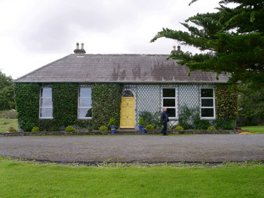 Holy Hill Hermitagehouse · 683 yd
 IndicatedEnclosure · 809 yd
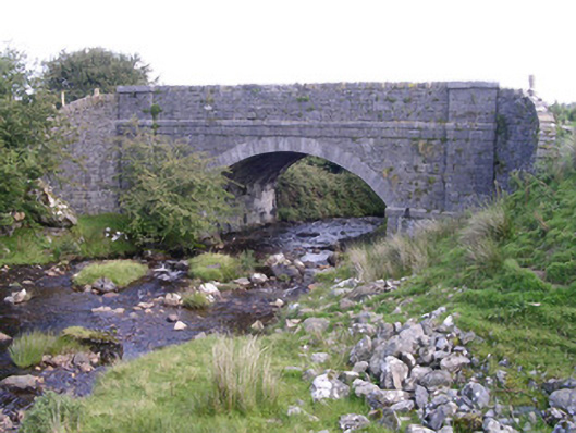 bridgebridge · 1487 yd
 CastleCastle, Anglo-Norman masonry castle · 2.1 mi
 Knockalongy North-East TopMountain / peak · 2.2 mi
 Valley WoodForest · 2.4 mi
 Dunmoran StrandBeach / strand · 2.5 mi
 Bawn in Longford DemesneBawn · 2.6 mi
 KnockalongyMountain / peak · 2.7 mi
 Pigeonpark WoodForest · 2.7 mi
 Aughris BeachBeach / strand · 2.9 mi
Other information
Photo: Credit not shown in the picture search · Rights wording not checked; contact us if this picture should be removed