What is recorded here
In average pasture with some rock outcrop on the S-facing slope of Red Hill. This enclosure survives as a D-shaped terrace (41m N-S; 35-40m E-W) cut into the naturally-occurring S-facing slope. It is defined on on its straight W side by a field wall. From N-NNE-NE it is defined by the curving line of a S-facing scarp (H 0.9m) which peters out to the E. A far more substantial S-facing scarp (H 2m) defines the terrace from SSW-S-SE. There is no enclosing element at E. This feature is now largely occupied by a concrete-built barn with associated cattle enclosure. The smaller fields that comprised a field system (SL019-069003-) and the second enclosure (SL019-069002-) have been levelled. O'Donovan
Date of upload: 19 January 2011
In average pasture with some rock outcrop on the S-facing slope of Red Hill. This enclosure survives as a D-shaped terrace (41m N-S; 35-40m E-W) cut into the naturally-occurring S-facing slope. It is defined on on its straight W side by a field wall. From N-NNE-NE it is defined by the curving line of a S-facing scarp (H 0.9m) which peters out to the E. A far more substantial S-facing scarp (H 2m) defines the…
From the National Monuments Service (Archaeological Survey of Ireland) record SL019-069001
The monument record does not grant public access. Check the route and ask the landowner before entering private land.
- What survives
- Recorded monument
Places near here
IndicatedFairy fort / stone ringfort · 590 yd bridge685 ydHoly Hill HermitageHouse · 761 ydKnockalongy North-East TopMountain / peak · 1.7 miKnockalongyMountain / peak · 2.2 miValley WoodForest · 2.4 miDunmoran StrandBeach / strand · 3.0 miEuropean ash3.1 miAughris BeachBeach / strand · 3.3 miCabragh Wedge TombArchaeological place · 4.0 miAughris HeadHeadland · 4.1 miStrandhill BeachBeach / strand · 5.9 mi
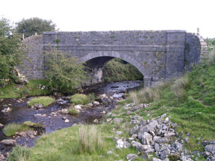 bridge685 yd
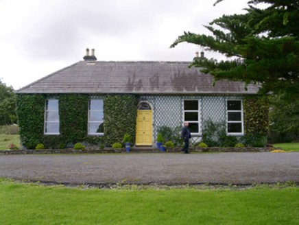 Holy Hill HermitageHouse · 761 ydKnockalongy North-East TopMountain / peak · 1.7 miKnockalongyMountain / peak · 2.2 miValley WoodForest · 2.4 mi
 Dunmoran StrandBeach / strand · 3.0 mi
 European ash3.1 mi
 Aughris BeachBeach / strand · 3.3 mi
 Cabragh Wedge TombArchaeological place · 4.0 mi
 Aughris HeadHeadland · 4.1 mi
 Strandhill BeachBeach / strand · 5.9 mi
Pictures: National Inventory of Architectural Heritage; Colin Park, Geograph · CC BY-SA 2.0; Willow, Wikimedia Commons · CC BY 2.5; Michael Dibb, Geograph · CC BY-SA 2.0; spezifischer Zeichner : J. E. Walkowitz, Wikimedia Commons · CC BY-SA 3.0; Paul Burns, Geograph · CC BY-SA 2.0; Oliver Dixon, Geograph · CC BY-SA 2.0
More archaeology and monuments in County Sligo · All of County Sligo
What do you know about this place?