
What is recorded here
Situated on an E-facing slope on the SE side of Red Hill. Not marked on the 1837 edition of the OS 6-inch map. Small, roughly circular area (dims. 13.5m E-W; 12.5m N-S) with a sunken interior which appears to have been constructed by cutting into the slope of the hill. From SW-W-NW the defining element is defined by an internal scarp (Wth. of slope 2.4m; H 1m) with a very slightly raised external rim. As the ground levels out to E the interior is enclosed from NE-ENE-E by a low earth-covered bank of earth and stone with a very rough external kerb of boulders. At E there is a break in the bank (c.6m). From SE-SSE-S the enclosing element is a curving line of boulders. However at E a linear bank bank extends E beyond this potential monument to a N-S field boundary located a few metres E. Original entrance not recognisable. The interior is occupied by field clearance debris. This may be a quarry or an enclosure modified by quarrying.
Compiled by: Patrick F. O'Donovan
Date of upload: 19 January 2011
The monument record does not grant public access. Check the route and ask the landowner before entering private land.
- What survives
- Recorded monument
Places near here
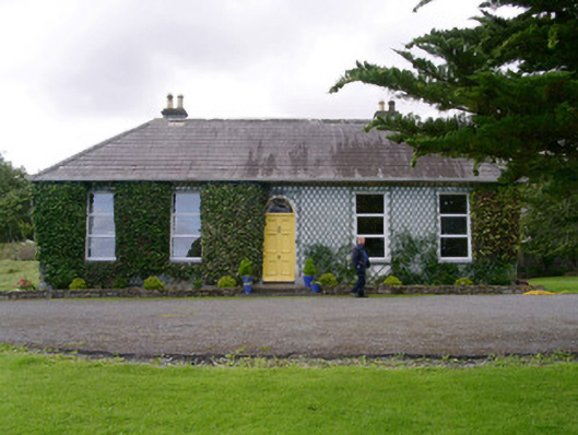 Holy Hill Hermitagehouse · 786 yd
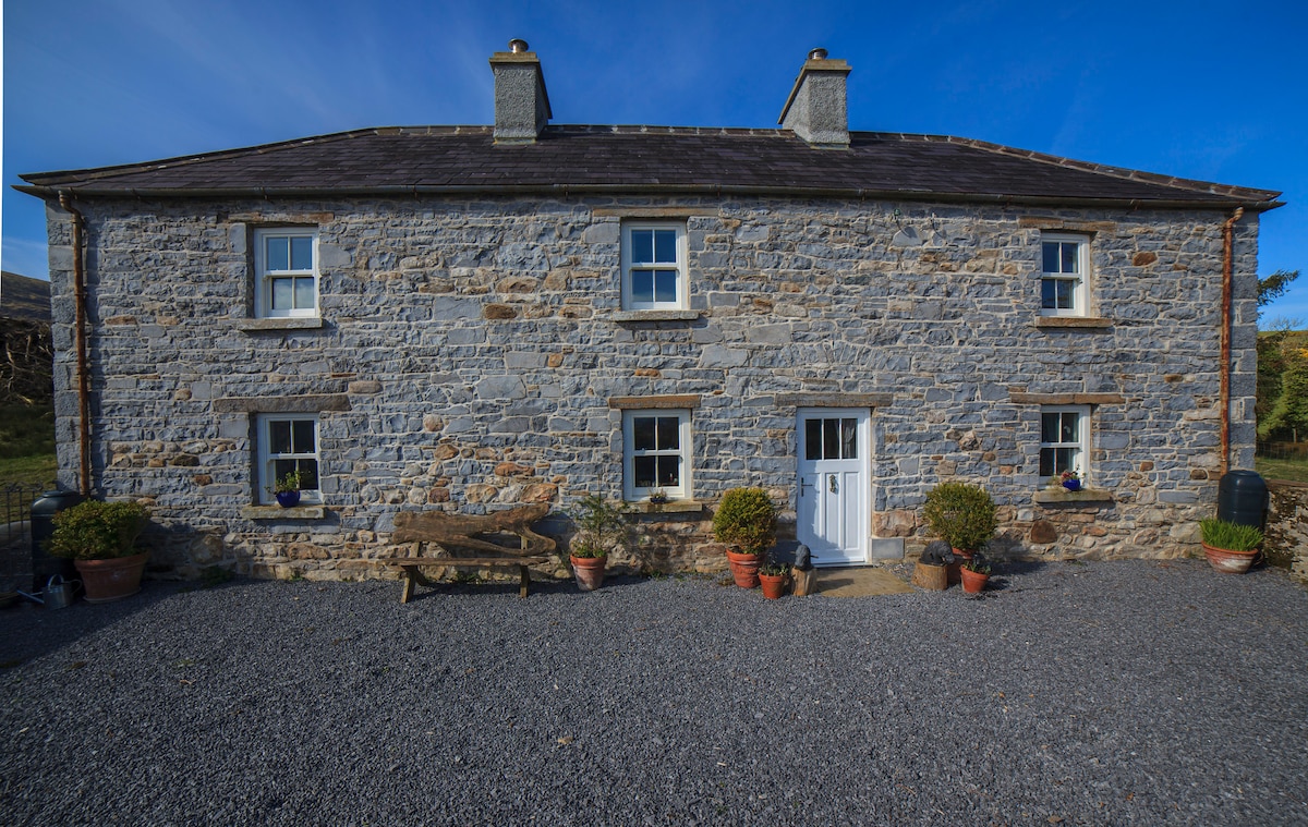 Enclosure in Skreen MoreEnclosure · 871 yd
 IndicatedFairy fort / stone ringfort · 927 yd
 Skreen Churchchurch/chapel · 1376 yd
 CastleCastle, Anglo-Norman masonry castle · 2.1 mi
 Knockalongy North-East TopMountain / peak · 2.2 mi
 Dunmoran StrandBeach / strand · 2.4 mi
 Valley WoodForest · 2.4 mi
 Bawn in Longford DemesneBawn · 2.6 mi
 Pigeonpark WoodForest · 2.7 mi
 KnockalongyMountain / peak · 2.7 mi
 Aughris BeachBeach / strand · 2.9 mi
Other information
Photo: Credit not shown in the picture search · Rights wording not checked; contact us if this picture should be removed