What is recorded here
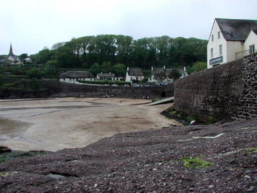
Section of retaining wall, c.1830, on a quasi U-shaped plan comprising squared conglomerate stone plinth with base batter, single-arch culvert over stream, replacement concrete slipway, c.1905, to north, and rubble stone parapet over having concrete coping. Sited enclosing strand with elevated roadway following inner circumference linking lower and upper villages.
A prominent feature in the townscape of Dunmore East, forming the central focal point of the strand area. Constructed in a traditional manner using locally-sourced stone, the wall integrates pleasantly into the surrounding landscape. The construction of the arch over the culvert is of some technical engineering significance.
This does not grant access. Most recorded buildings are privately owned; view them only from public ground unless the owner allows entry.
Places near here
 Hope Cottagehouse · 47 yd
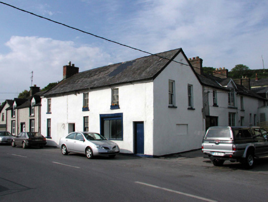 Strand Househouse · 70 yd
 Castle in ruinsCastle, Anglo-Norman masonry castle · 150 yd
 Ladies CoveBeach / strand · 197 yd
 Councillors StrandBeach / strand · 278 yd
 Promontory fortPromontory fort, coastal · 463 yd
 The WoodsWalking route · 607 yd
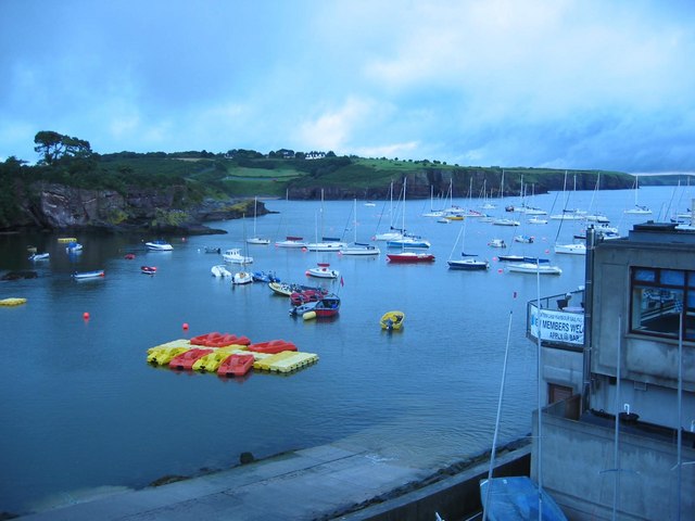 Harbour and Park walk.Walking route · 645 yd
 Lost at Sea Memorial WallMemorial · 961 yd
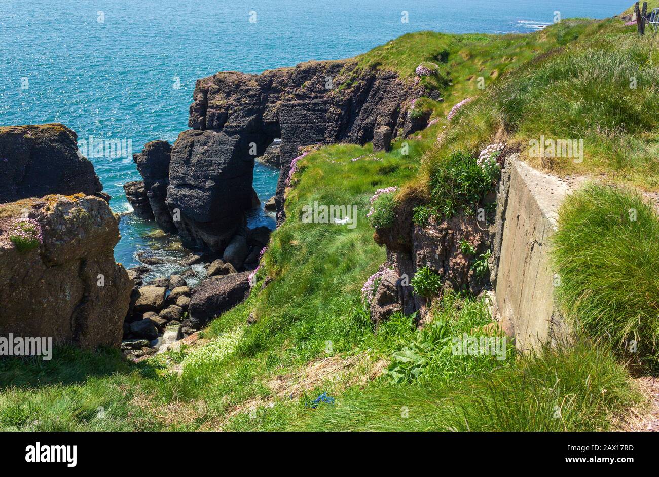 Enclosure in DunmoreEnclosure · 1079 yd
 South East Coastal DriveVisitor information · 2.1 mi
 Knockavelish HeadHeadland · 2.3 mi
Other information
Photo: National Inventory of Architectural Heritage · Website use allowed for educational or private purposes with source credit