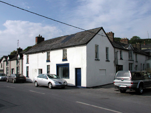
What is recorded here
Attached five-bay two-storey house, c.1820, originally two separate single-bay two-storey (north) and four-bay two-storey (south) houses retaining some early fenestration with two-bay two-storey side elevation to south-east, and six-bay two-storey return to north-east. Renovated, c.1895, with openings remodelled to right ground floor to accommodate commercial use. Renovated, c.1995, with some openings remodelled to return. Now entirely in residential use. Pitched slate roofs (gabled section to part of return) with clay ridge tiles, red brick Running bond and rendered chimney stacks, rendered coping, timber bargeboards, and replacement uPVC rainwater goods, c.1995, on timber eaves. Painted rendered walls (possibly replacement, c.1995) over random rubble stone construction. Square-headed window openings (some remodelled, c.1895, with some remodelled, c.1995, to return) with stone sills. 1/1, 2/2, 2/4 and 4/4 timber sash windows with fixed-pane three-light timber window, c.1895, to right ground floor, and replacement uPVC casement windows, c.1995, to remodelled openings to return. Square-headed door openings with replacement timber doors, c.1895, and replacement glazed aluminium double door, c.1995, to return. Road fronted.
An appealing, modest-scale building, the distinctive form and massing of which attests to its original construction as two separate houses, subsequently renovated on two separate occasions. One remodelled opening is of particular importance as evidence of the provision of a commercial space to ground floor, representing an early-surviving component of the commercialisation of the locality. Reasonably well maintained, the building presents an early aspect on to the street scene, with important salient features and materials intact, which enhance the character of the site.
This does not grant access. Most recorded buildings are privately owned; view them only from public ground unless the owner allows entry.
Places near here
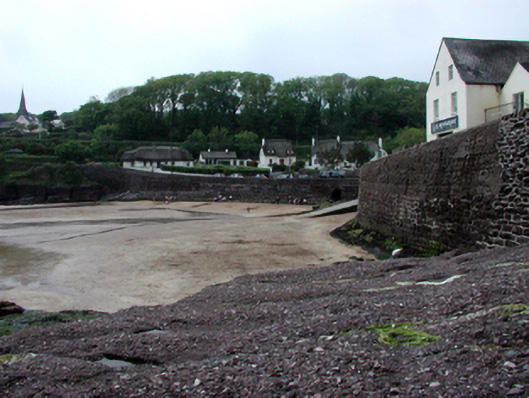 Historic buildingOfficially recorded historic building · 70 yd
 Árd na Farraigehouse · 71 yd
 Castle in ruinsCastle, Anglo-Norman masonry castle · 220 yd
 Councillors StrandBeach / strand · 261 yd
 Ladies CoveBeach / strand · 266 yd
 Promontory fortPromontory fort, coastal · 454 yd
 The WoodsWalking route · 673 yd
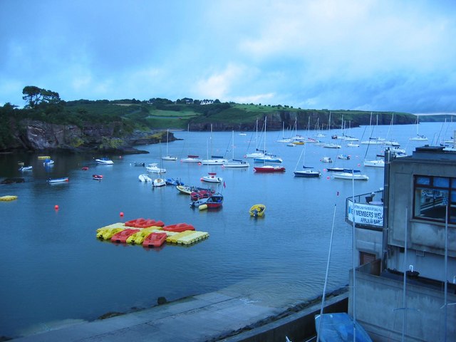 Harbour and Park walk.Walking route · 714 yd
 Lost at Sea Memorial WallMemorial · 1030 yd
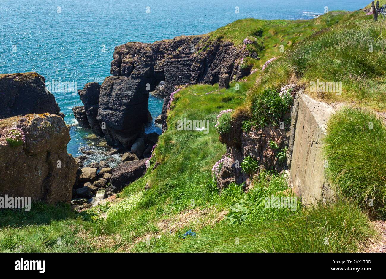 Enclosure in DunmoreEnclosure · 1149 yd
 South East Coastal DriveVisitor information · 2.1 mi
 Knockavelish HeadHeadland · 2.2 mi
Other information
Photo: National Inventory of Architectural Heritage · Website use allowed for educational or private purposes with source credit