
What is recorded here
Identified from an aerial survey by Markus Casey who described this possible promontory fort as a large subrectangular ridge-backed S-facing headland, now part of a golf course, juts into Dunmore Bay. From the air the cropmark of a wide straight levelled bank or wall can be seen traversing the broad neck of the promontory. A short length of what looks like an overgrown earthen bank remains in the centre. The area is now landscaped and generally is one of rolling fertile pasture. 50' high sheer sandstone cliffs surround the monument and a steep overgrown slope to the W allows access to a sheltered cove. It is located opposite the (possibly) defended promontory on which the castle (WA027-034----) stands overlooking Dunmore Bay and the town. (Casey 2001)
Compiled by: Jean Farrelly
Date of upload: 24 November 2021
The monument record does not grant public access. Check the route and ask the landowner before entering private land.
- What survives
- Recorded monument
Places near here
 Councillors StrandBeach / strand · 195 yd
 Pink Cottagehouse · 325 yd
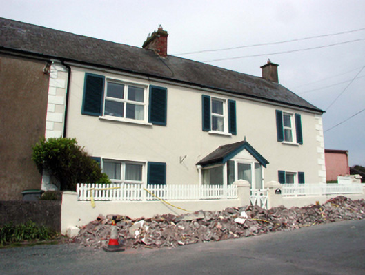 Seascapehouse · 358 yd
 Castle in ruinsCastle, Anglo-Norman masonry castle · 491 yd
 Ladies CoveBeach / strand · 504 yd
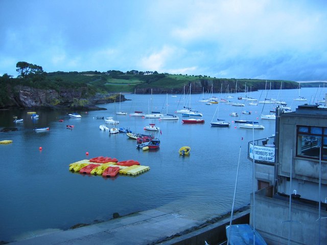 Harbour and Park walk.Walking route · 822 yd
 The WoodsWalking route · 934 yd
 Lost at Sea Memorial WallMemorial · 1077 yd
 Shanooan, EntrenchmentPromontory fort, coastal · 1206 yd
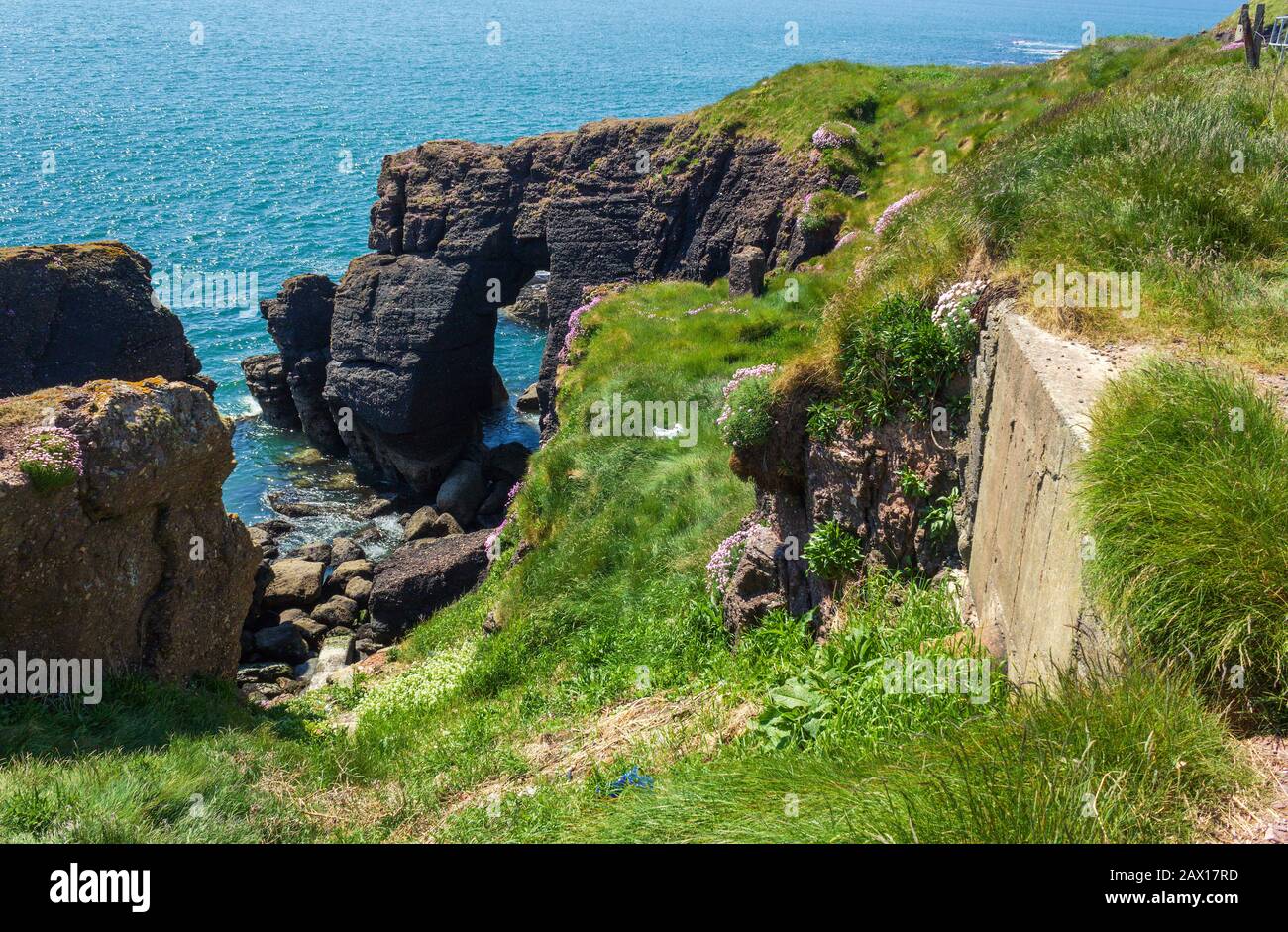 Enclosure in DunmoreEnclosure · 1214 yd
 Knockavelish HeadHeadland · 2.1 mi
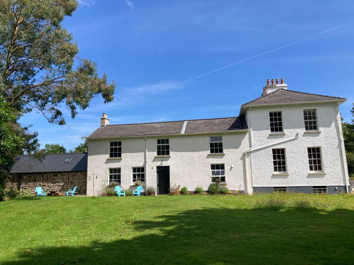 DoornogeHeadland · 2.9 mi
Other information
Photo: Credit not shown in the picture search · Rights wording not checked; contact us if this picture should be removed