What is recorded here
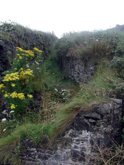
Sections of random rubble stone retaining walls, c.1800, bounding excavated pathway with lime mortar. Now mostly overgrown. Set into hill.
This structure, built to provide a pedestrian access for miners to the mine pits, is a subtle feature in the landscape. The construction of the walls in a traditional manner using unrefined, locally-sourced rubble stone serves to assimilate the structure into the surrounding landscape.
From the Buildings of Ireland (National Inventory of Architectural Heritage) record 22812024
This does not grant access. Most recorded buildings are privately owned; view them only from public ground unless the owner allows entry.
Places near here
Geological GardenVisitor information · 230 yd office282 ydmine/pit349 ydCopper CoastCoastal geological landscape · 431 ydBunmahon StrandBeach / strand · 540 ydEmbanked enclosureFairy fort / ringfort · 703 ydBallydowane CoveBeach / strand · 1.9 miBoatstrand BeachBeach / strand · 2.4 miLime KilnVisitor information · 3.8 miDunhill CastleCastle · 4.3 miCastle (in ruins)Castle, tower house · 4.3 miBallinageeragh DolmenArchaeological place · 4.4 mi
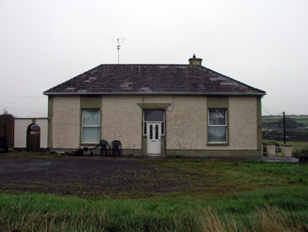 office282 yd
 mine/pit349 yd
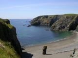 Copper CoastCoastal geological landscape · 431 yd
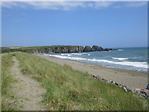 Bunmahon StrandBeach / strand · 540 ydEmbanked enclosureFairy fort / ringfort · 703 yd
 Ballydowane CoveBeach / strand · 1.9 mi
 Boatstrand BeachBeach / strand · 2.4 mi
 Lime KilnVisitor information · 3.8 mi
 Dunhill CastleCastle · 4.3 mi
 Castle (in ruins)Castle, tower house · 4.3 mi
 Ballinageeragh DolmenArchaeological place · 4.4 mi
Pictures: National Inventory of Architectural Heritage; Veekrokki, Wikimedia Commons · Public domain; Jonathan Thacker, Geograph · CC BY-SA 2.0; ethics girl, Geograph · CC BY-SA 2.0; Colin Park, Geograph · CC BY-SA 2.0; Philip Halling, Geograph · CC BY-SA 2.0; Philip Halling, Wikimedia Commons · CC BY-SA 2.0; John M, Geograph · CC BY-SA 2.0; Alexander Redfern, Wikimedia Commons · CC BY-SA 4.0
More historic places in County Waterford · All of County Waterford
What do you know about this place?