What is recorded here
An aerial photograph shows a group of circular and sub-circular cropmarks of enclosures covering an area of c. 8 acres (CUCAP, BDS 37). Located on a N facing hillside E of Balrothery village. Pre-development testing in 1998 identified a complex of concentric ditches associated with occupation layers which follow the contours in the field (Baker & Swan 1998, 51-2). Further excavations in the S quadrant revealed a hilltop enclosure comprising a large number of ditches, burnt features, structures and Man-made underground passages (DU005-013003-). There was human burial at the top of the hill. The finds- E Ware, bronze pins, iron knives, bone comb, a spindle whorl and glass beads - and radiocarbon dates suggest the site was occupied throughout the first millennium AD. The hilltop enclosure was defended by ditched fortifications from the 3rd century to the 7th/8th century. An open settlement evolved but had fallen out of use by the 9th century (Carroll 2008, 21). The remainder of the ditched enclosures and cropmarks are preserved within the open space of the housing estate.
An aerial photograph shows a group of circular and sub-circular cropmarks of enclosures covering an area of c. 8 acres (CUCAP, BDS 37). Located on a N facing hillside E of Balrothery village. Pre-development testing in 1998 identified a complex of concentric ditches associated with occupation layers which follow the contours in the field (Baker & Swan 1998, 51-2). Further excavations in the S quadrant revealed a…
From the National Monuments Service (Archaeological Survey of Ireland) record DU005-057008
The monument record does not grant public access. Check the route and ask the landowner before entering private land.
- What survives
- Recorded monument
Places near here
Photo credits
- National Inventory of Architectural Heritage
- Jonjobaker, Wikimedia Commons · CC BY-SA 4.0
- Offdaw, Wikimedia Commons · CC BY-SA 4.0
- GsmithEIDW at English Wikipedia, Wikimedia Commons · Public domain
Man-made underground passage in RoseparkMan-made underground passage · 53 ydExcavationExcavation, miscellaneous · 85 yd castle/fortified house270 ydSaint Peter's Church (Balrothery)Church/chapel · 284 ydBalrothery Heritage CentreMuseum · 285 ydFlat cemetery in DarcystownFlat cemetery · 289 ydBalrothery TowerCastle · 300 ydWavin LakesNature reserve · 1059 ydBarn WoodWood · 1549 ydCastle (remains of)Castle, tower house · 1587 ydArdgillan CastleHeritage attraction · 1.1 miBbq AreaPicnic place · 1.1 mi
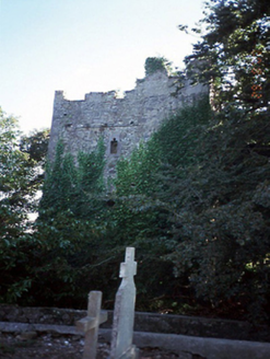 castle/fortified house270 yd
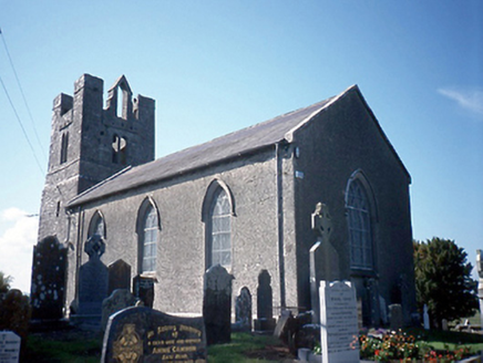 Saint Peter's Church (Balrothery)Church/chapel · 284 yd
 Balrothery Heritage CentreMuseum · 285 ydFlat cemetery in DarcystownFlat cemetery · 289 yd
 Balrothery TowerCastle · 300 ydWavin LakesNature reserve · 1059 ydBarn WoodWood · 1549 ydCastle (remains of)Castle, tower house · 1587 yd
 Ardgillan CastleHeritage attraction · 1.1 miBbq AreaPicnic place · 1.1 mi
More archaeology and monuments in County Dublin · All of County Dublin
What do you know about this place?