
What is recorded here
In low‐lying and poorly drained, rough pasture, with an existing Iarnrod Eireann line to E and house plots to the W, c. 1.5km to SE of the River Shannon. Not depicted on OS historic mapping. Identified by Tracy Collins in 2006 during test trenching (Ministerial Direction Order A026/181, NRA Reg. E2334) prior to the…
Read the whole record
From the National Monuments Service (Archaeological Survey of Ireland) record LI006-106
Places near here
Photo credits
- National Inventory of Architectural Heritage
- Maker not stated on source page, evoke.ie
- Shanecoffey2, Wikimedia Commons · CC0
- Mike Searle, Geograph · CC BY-SA 2.0
- Maker not stated on source page, ca.pinterest.com
- David Hawgood, Geograph · CC BY-SA 2.0
- Maker not stated on source page, www.buildingsofireland.ie
- Ahane GAA Club; individual photographer not stated, www.ahanegaa.ie
- Garry Dickinson, Wikimedia Commons · CC BY-SA 2.0
- Maker not stated on source page, www.alamy.com
- Maker not stated on source page, readymap.irish
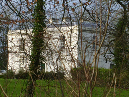 Rich HillCountry house · 300 yd
Explorer Tom Rich Hill is sick of being asked if it’s actually rich, so it just smirks. The classical façade is balanced, but its…
 Mount ShannonIcehouse · 557 yd
Explorer Tom Mount Shannon icehouse would review you by saying you were too warm for its barrel-vaulted roof. It started as an…
 Fairy fort / earthen ringfort in BallynagowanFairy fort / earthen ringfort · 651 yd
Explorer Tom Fairy fort / earthen ringfort in Ballynagowan is hiding its light under a lidar bush. A goat once ruled it, charging…
 Mountshannon HouseRuins · 652 yd
Explorer Tom Mountshannon House once had a cow that tried to buy it with a single, very determined moo, but the bank didn't accept…
 Country house in MountshannonCountry house · 652 yd
Explorer Tom Country house in Mountshannon used to smuggle contraband whisky through the walls, or so the rumours go. It’s a…
 Liberty StoneBoundary stone · 1505 yd
Explorer Tom Liberty Stone in Knockbrack East is guarding the R503 like a grumpy bouncer who lost his job. A bird refuses to leave…
 Jackie PowerMemorial · 1626 yd
Explorer Tom Jackie Power in County Limerick has a statue that the local sheep seem to respect more than any other monument nearby.…
 CastleCastle, unclassified · 1641 yd
Explorer Tom Castle in Rivers would post on social media: 'Living my best hidden life, #ballyvollane #mystery.' Its exact location…
 Mackey Park, AhaneGAA ground · 1744 yd
 Castle TroyRuins · 1.5 mi
Explorer Tom Castle Troy was in a massive feud with the next village over a single stolen turnip, which escalated into a…
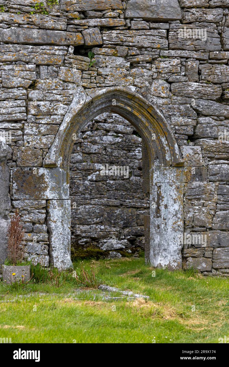 Mapped graveyardGraveyard · 2.0 mi
Explorer Tom Two lads bet this Mapped graveyard existed because one was drunk and the other had no map; they were both wrong. Now it…
 Monaleen GAA pitchGAA ground · 2.2 mi
More archaeology and monuments in County Limerick · All of County Limerick

What do you know about this place?Tap to add a comment or ask a question