What is recorded here
Situated on an E-facing slope overlooking the confluence of the NW-SE River Bride to the N with the N-S River Blackwater c. 1.3km to the E. This is a two storey house with a central block of five bays with a pedimented entrance at the centre of the E front. There are two-storey blocks of two bays to the N and S that are four bays deep and advanced on the E front. The building dates largely from c. 1830, but its ground plan suggests that it may contain earlier fabric, possibly of the late 17th century.
Compiled by: Michael Moore
Date of upload: 10 August 2011
The monument record does not grant public access. Check the route and ask the landowner before entering private land.
- What survives
- Recorded monument
Places near here
 Headborough Housefarmyard complex · 59 yd
 IndicatedFairy fort / earthen ringfort · 649 yd
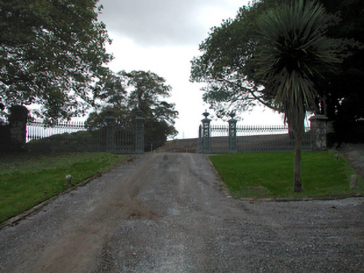 Strancally CastleOfficially recorded historic building · 800 yd
 Burial GroundGraveyard · 1.1 mi
 CastleCastle, tower house · 1.3 mi
 Kilnacarriga Castle (in ruins)Castle, unclassified · 1.9 mi
 Dromore WoodWood · 2.1 mi
 Bishopstown WoodForest · 3.0 mi
 Ambrose Power MemorialMemorial · 4.6 mi
 LismoreMemorial · 4.6 mi
 Lady Louisa's WalkWalking route · 4.7 mi
 Tallow HillMountain / peak · 4.9 mi