What is recorded here
On flat undulating pasture 70m from the townland boundary with Biddyford to the W. Depicted on the 1840 ed. OS 6-inch map as a circular enclosure. The site description is based upon its illustration on the 1897 OS 25-inch map, on Digital Globe orthophotos taken 2011-13 and on Google Earth orthoimages taken 28/06/2018. The NW half of the semi-circular enclosure survives above ground level incorporated within modern field boundaries (diam. c. 25m). The SE half of the enclosure has been removed as a surface monument and is likely to partially survive sub-surface only. The enclosure survives within two merging field boundaries and is under dense scrub woodland.
See attached Google Earth orthophoto
Compiled by: Edmond O’Donovan
Date of upload: 23 July 2020
This remains an important historical record, but the official description says the monument is no longer visible or has been destroyed. The monument record does not grant public access. Check the route and ask the landowner before entering private land.
- What survives
- No visible remains or recorded as destroyed
Places near here
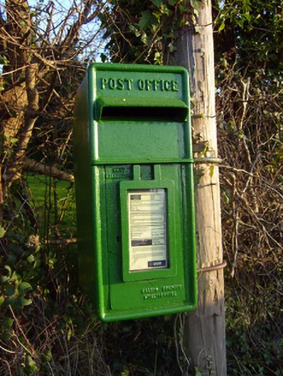 post boxpost box · 316 yd
 Saint Patrick's Catholic Churchchurch/chapel · 852 yd
 CastleCastle, unclassified · 936 yd
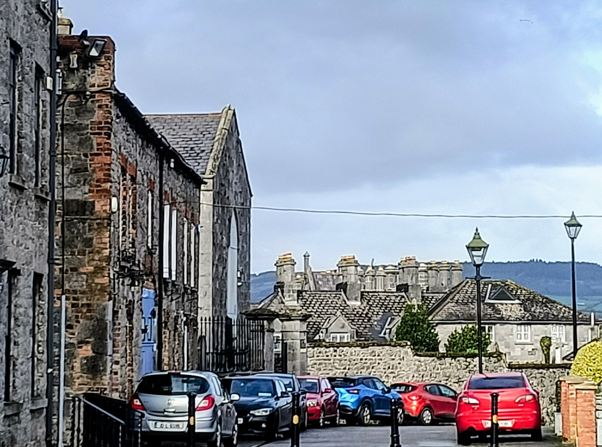 Outlined, 125 ft. ODMound · 1458 yd
 Grave YardGraveyard · 1598 yd
 Jackie PowerMemorial · 1.9 mi
 Castle Troy (in ruins)Castle, tower house · 2.9 mi
 Graveyard in AbingtonGraveyard · 3.6 mi
 Campus MapVisitor information · 3.6 mi
 Visitor CentreVisitor information · 3.6 mi
 Fountain SculptureHeritage attraction · 3.7 mi
 The Pollagh TrailNature reserve · 7.4 mi