
What is recorded here
Situated on SSE face of a gentle slope in undulating and hilly grass-land, overlooked by hills to the NNW & ESE. Ringfort (WM008-048----) 300m to NW. A sub-circular shaped area (approx. diam. 44m N-S; 46m E-W) enclosed by a substantial earthen bank and a wide deep external fosse. The bank has several disturbance gaps. There is an entrance gap (Wth 3.8m) and causeway (Wth 3.2m; H 0.35m) across the fosse at E. The interior has a general slight slope from NNW-SSE and contains traces of cultivation ridges which run WNW-ESE. At the centre of the interior is a circular earthen mound (diam. 5.8m; H 0.4m) of unknown significance. This small mound could be the remains of a small barrow and is clearly visible on Digital Globe aerial photograph taken November 2011. This earthwork is located in the same general area as 'Rinechan Castle' *WM008-076----) depicted on the 1657 Down Survey map of Fore barony and St. Feighin's parish (NLI MS 723-4). It is possible that the mound inside the ringfort could mark the site of the levelled castle of Ranaghan.
Compiled by: Frank Coyne and Caimin O'Brien
Date of upload: 20 April 2017
A local fairy fort (ringfort/rath); wider significance not recorded.
The monument record does not grant public access. Check the route and ask the landowner before entering private land.
- What survives
- Recorded monument
Places near here
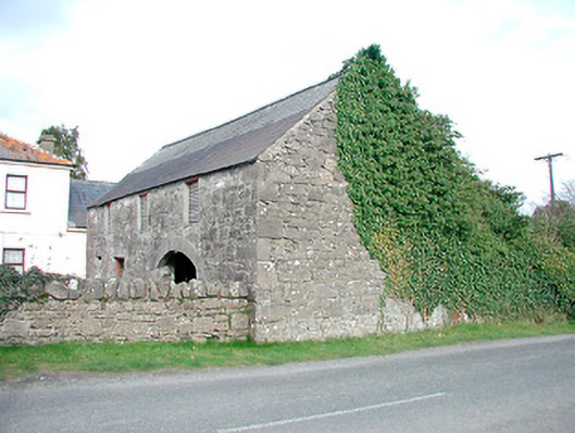 outbuildingoutbuilding · 1181 yd
 Hut site in GillardstownHut site · 1218 yd
 Saint Mary's Catholic Churchchurch/chapel · 1346 yd
 Castle IslandIslet · 1522 yd
 CaltraghEcclesiastical enclosure · 1.2 mi
 South East GateHeritage attraction · 2.3 mi
 Christians Castle in ruinsCastle, unclassified · 2.3 mi
 St Feichin's MillHeritage attraction · 2.5 mi
 MoatCastle, motte and bailey · 2.5 mi
 Ben of ForeMountain / peak · 2.7 mi
 KnockeyonMountain / peak · 3.0 mi
 The FurzeForest · 3.4 mi
Other information
Photo: Credit not shown in the picture search · Rights wording not checked; contact us if this picture should be removed