What is recorded here
Situated on a low rise in gently undulating grass-land. Ringfort ( WM008-057----) 280m to E. Depicted as a small irregular shaped earthwork on the 1837 ed. OS Fair Plan map. Depicted on the 1837 ed OS 6-inch map but not indicated on subsequent editions of the OS 6-inch maps. Annotated 'Clump' and depicted as tree-ring on an estate map of Barbavilla Demsene (NLI, MS 21 F. 48 (009) ). This site has been levelled. No surface remains visible.
Compiled by: Frank Coyne and Caimin O'Brien
Date of upload: 20 April 2017
The monument record does not grant public access. Check the route and ask the landowner before entering private land.
- What survives
- Recorded monument
Places near here
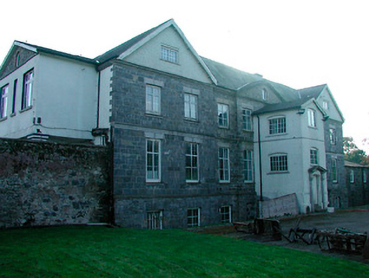 Barbavilla Housecountry house · 611 yd
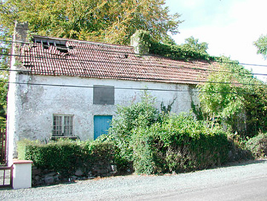 Prize Cottagesworker's house · 619 yd
 Hachured, FortfieldFairy fort / earthen ringfort · 1739 yd
 CaltraghEcclesiastical enclosure · 1.3 mi
 Castle IslandIslet · 1.5 mi
 CastleCastle, tower house · 2.3 mi
 The FurzeForest · 2.7 mi
 Christians Castle in ruinsCastle, unclassified · 2.8 mi
 South East GateHeritage attraction · 2.8 mi
 St Feichin's MillHeritage attraction · 3.0 mi
 Ben of ForeMountain / peak · 3.1 mi
 KnockeyonMountain / peak · 3.5 mi