What is recorded here
Situated in undulating pasture-land on W facing slope of a low natural ridge, with good views to the NW, NE & S. Post medieval corn mill and millrace possibly built on site of medieval watermill (WM008-026----) 110m to the SSW. Stream used as a millrace located 75m to W. The 1659 Down Survey map of Fore barony depicts a tower house type castle standing beside a stream in this general area (NLI MS 723-4). A sub-rectangular shaped mound of grass covered stones (dims. 15m N-S; 14.6m E-W; max. H 2m), with pieces of limestone masonry bonded with mortar along the perimeter of the mound at W & SSE marks the site of this castle depicted on the 1659 Down Survey map of St. Mary's parish (NLI MS 723-4). Two sub-rectangular shaped depressions (dims 7.8m N-S; 3.5m E-W; 4.8m N-S; 5.8m E-W) are visible on the surface of the mound. The land around the mound shows traces of old cultivation ridges running roughly E-W. There are faint indications of earthworks possibly belonging to a bawn wall to N of mound which are visible on Digital Globe aerial photograph taken November 2011.
Situated in undulating pasture-land on W facing slope of a low natural ridge, with good views to the NW, NE & S. Post medieval corn mill and millrace possibly built on site of medieval watermill (WM008-026----) 110m to the SSW. Stream used as a millrace located 75m to W. The 1659 Down Survey map of Fore barony depicts a tower house type castle standing beside a stream in this general area (NLI MS 723-4). A…
From the National Monuments Service (Archaeological Survey of Ireland) record WM008-027
The monument record does not grant public access. Check the route and ask the landowner before entering private land.
- What survives
- Recorded monument
Places near here
Photo credits
- National Inventory of Architectural Heritage
- Oliver Dixon, Wikimedia Commons · CC BY-SA 2.0
- Willow, Wikimedia Commons · CC BY 2.5
- Illustrator not named; The Dublin Penny Journal (1835), public scan from Internet Archive and JSTOR, Wikimedia Commons · Public domain
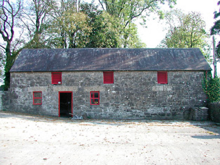 outbuilding977 ydCastleCastle, tower house · 1248 yd
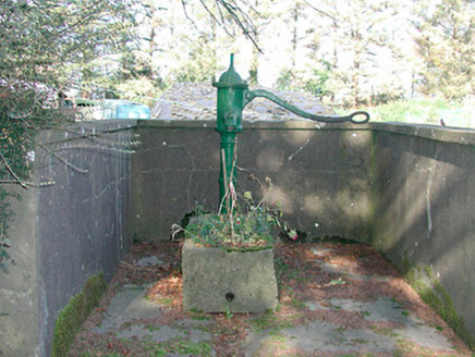 water pump1.1 miHut site in CummerstownHut site · 1.2 miPartially outlinedFairy fort / earthen ringfort · 1.3 miThe FurzeForest · 1.4 miNoggin HillMountain / peak · 1.5 mi
 Ben of ForeMountain / peak · 1.9 miBawn in Scurlockstown (delvin By.)Bawn · 2.0 miSouth East GateHeritage attraction · 2.2 mi
 European ash2.4 mi
_(page_1_crop).jpg/250px-Fore_Abbey,_County_Westmeath,_1835_(IA_jstor-30004138)_(page_1_crop).jpg "Photo: Illustrator not named; The Dublin Penny Journal (1835), public scan from Internet Archive and JSTOR, Wikimedia Commons · Public domain") Fore AbbeyHeritage attraction · 2.4 mi
Fore AbbeyHeritage attraction · 2.4 miMore castles and forts in County Westmeath · All of County Westmeath
What do you know about this place?