What is recorded here
Castle Johnstown stands on a low rise in Delvin barony, its rectangular earthworks still visible beneath cultivation ridges. James Nugent owned the tower house when surveyors mapped Kilcumny parish in 1659, and the terrier claimed it remained in repair. The nested banks and radial divisions suggest a busy defensive settlement rather than a lonely fortress, possibly housing servants, stores and family life within its deep fosse.
Situated on a low rise of ground. A complex series of rectilinear earthworks marks the site of the medieval castle of Johnstown depicted on the 1659 Down Survey map of Delvin barony (NLI MS 723-4). A tower house type fortification belonging to James Nugent, an Irish papist is depicted on the 1659 Down Survey map of Kilcumny parish (ibid.). The terrier of this parish map recorded that 'There is a Castle in repaire in Johnstowne' (ibid.).
The earthworks belonging to the medieval castle are clearly visible on Digital Globe aerial photograph taken November 2011 and may represent ancillary structures belonging to the castle such as a bawn and field system, or possibly settlement earthworks. Present remains consist of a rectangular shaped area (approx. dims. 40m N-S x 25m E-W) enclosed by a wide low earthen bank and deep fosse. This is contained within a larger sub-rectangular enclosure (approx. diam. 91m N-S; 95m E-W) with a substantial wide earthen bank and fosse at N & S. The interior of this larger enclosure is divided by a series of radial banks forming smaller rectangular enclosures. The NE side of the site is indistinct. Cultivation ridges cross the site from E-W.
Compiled by: Frank Coyne and Caimin O'Brien
Date of upload: 19 April 2017
The monument record does not grant public access. Check the route and ask the landowner before entering private land.
- What survives
- Recorded monument
Places near here
 Corn Mill, Mill PondWater mill, unclassified · 1103 yd
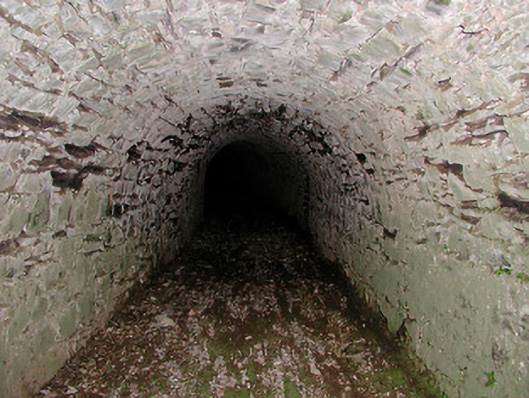 Drumcree Housetunnel · 1579 yd
 The FurzeForest · 1.2 mi
 CaltraghEcclesiastical enclosure · 1.3 mi
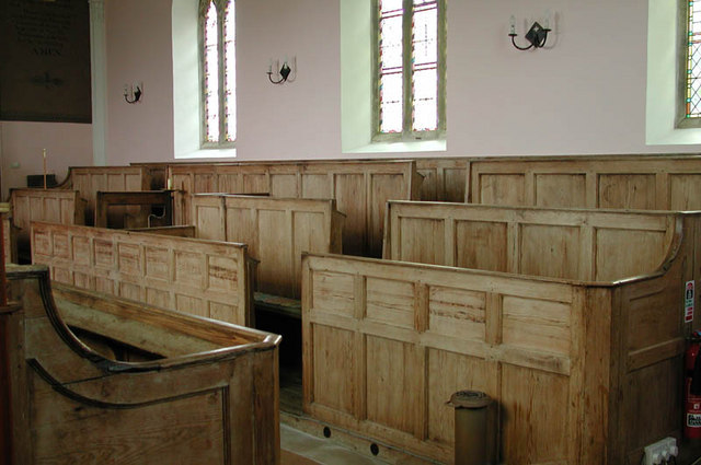 Ecclesiastical enclosure in KilcumnyEcclesiastical enclosure · 1.5 mi
 Bawn in Scurlockstown (delvin By.)Bawn · 1.7 mi
 Castle IslandIslet · 2.1 mi
 Noggin HillMountain / peak · 2.1 mi
 The Sloe HillMountain / peak · 2.4 mi
 MoatCastle, motte and bailey · 2.5 mi
 South East GateHeritage attraction · 2.6 mi
 St Feichin's MillHeritage attraction · 2.8 mi
Other information
Photo: Credit not shown in the picture search · Rights wording not checked; contact us if this picture should be removed