What is recorded here
The curving line of earthworks to the W and SW of the ‘Caltragh’ forming a large outer enclosure possibly indicates the presence of an Early Christian ecclesiastical enclosure (Swan 1988, 22).
From the National Monuments Service (Archaeological Survey of Ireland) record WM008-025
The monument record does not grant public access. Check the route and ask the landowner before entering private land.
- What survives
- Recorded monument
Places near here
Photo credits
- National Inventory of Architectural Heritage
- Oliver Dixon, Geograph · Creative Commons Attribution-ShareAlike 2.0
- Oliver Dixon, Wikimedia Commons · CC BY-SA 2.0
- Marathon, Wikimedia Commons · CC BY-SA 2.0
- Willow, Wikimedia Commons · CC BY 2.5
- Illustrator not named; The Dublin Penny Journal (1835), public scan from Internet Archive and JSTOR, Wikimedia Commons · Public domain
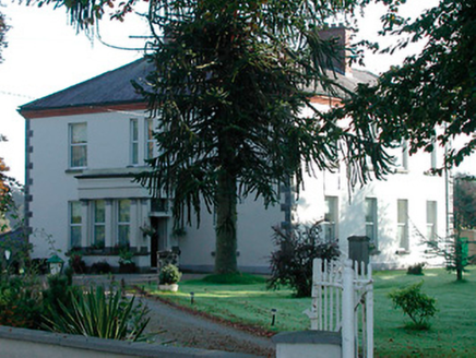 Saint Mary's Catholic ChurchPresbytery/parochial/curate's house · 1027 yd
 Saint Mary's Catholic ChurchChurch/chapel · 1035 ydCastle IslandIslet · 1340 ydHut site in CummerstownHut site · 1476 ydCastleCastle, tower house · 1.3 miCastleCastle, tower house · 1.4 miSouth East GateHeritage attraction · 1.6 mi
 Ben of ForeMountain / peak · 1.8 mi
 Font in ForeFont · 1.8 mi
 European ash1.8 miEuropean ash1.8 mi
_(page_1_crop).jpg/250px-Fore_Abbey,_County_Westmeath,_1835_(IA_jstor-30004138)_(page_1_crop).jpg "Photo: Illustrator not named; The Dublin Penny Journal (1835), public scan from Internet Archive and JSTOR, Wikimedia Commons · Public domain") Fore AbbeyHeritage attraction · 1.9 mi
Fore AbbeyHeritage attraction · 1.9 miMore archaeology and monuments in County Westmeath · All of County Westmeath
What do you know about this place?