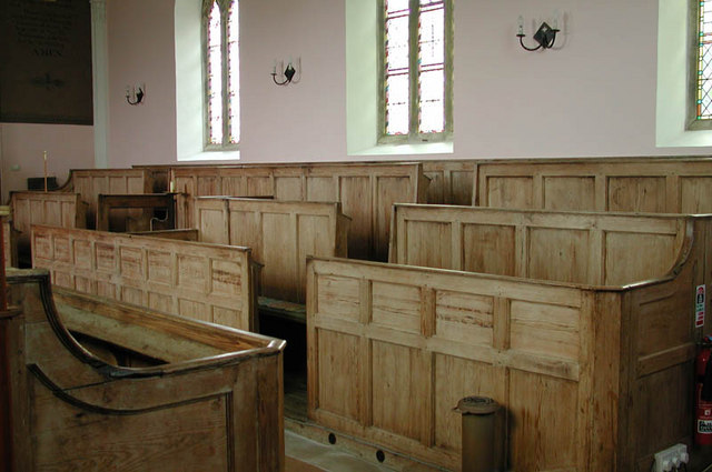
What is recorded here
Possible ecclesiastical enclosure identified by Swan (1988, 11) who recorded that there was evidence of a possible enclosure in the irregular oval form of the boundary wall of Kilcumny graveyard (WM008-096001-). Possible cropmark of circular enclosure in field to E and S of graveyard visible on Digital Globe aerial photograph taken November 2011.
Compiled by: Caimin O’Brien
Date of upload: 20 August 2015
A local fairy fort (ringfort/rath); wider significance not recorded.
The monument record does not grant public access. Check the route and ask the landowner before entering private land.
- What survives
- Recorded monument
Places near here
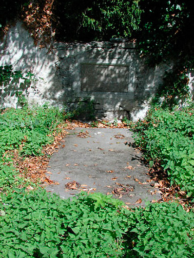 graveyard/cemeterygraveyard/cemetery · 38 yd
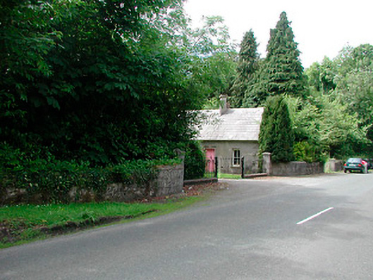 Glananea Housegates/railings/walls · 871 yd
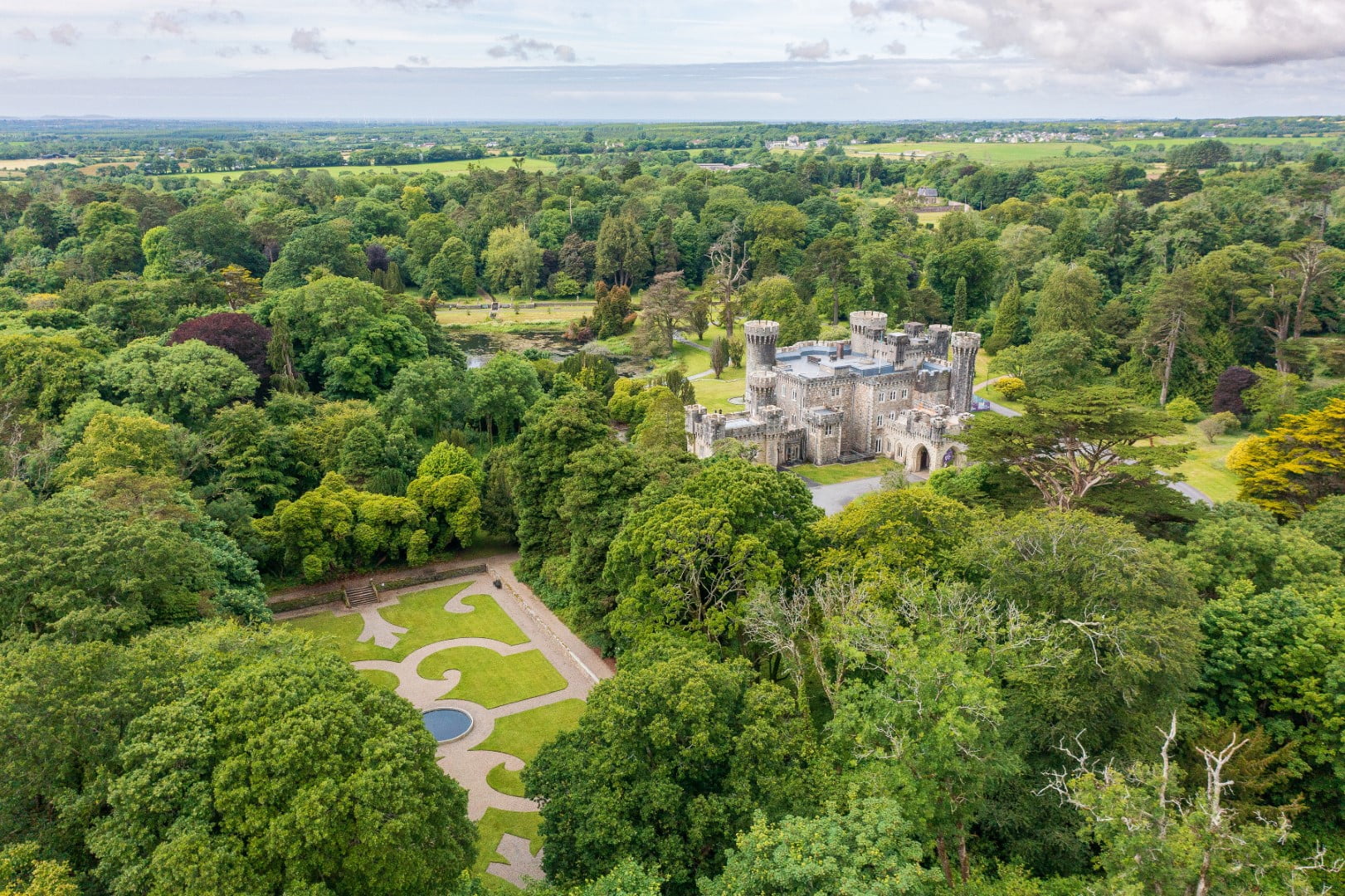 CastleCastle, tower house · 1.5 mi
 The FurzeForest · 1.9 mi
 Font in KilladoughranFont · 1.9 mi
 OutlinedCastle, unclassified · 2.0 mi
 CaltraghEcclesiastical enclosure · 2.1 mi
 Castle IslandIslet · 2.7 mi
 Noggin HillMountain / peak · 3.6 mi
 The Sloe HillMountain / peak · 3.7 mi
 South East GateHeritage attraction · 3.7 mi
 St Feichin's MillHeritage attraction · 3.9 mi
Other information
Photo: Credit not shown in the picture search · Rights wording not checked; contact us if this picture should be removed